A crossroads of landscapes
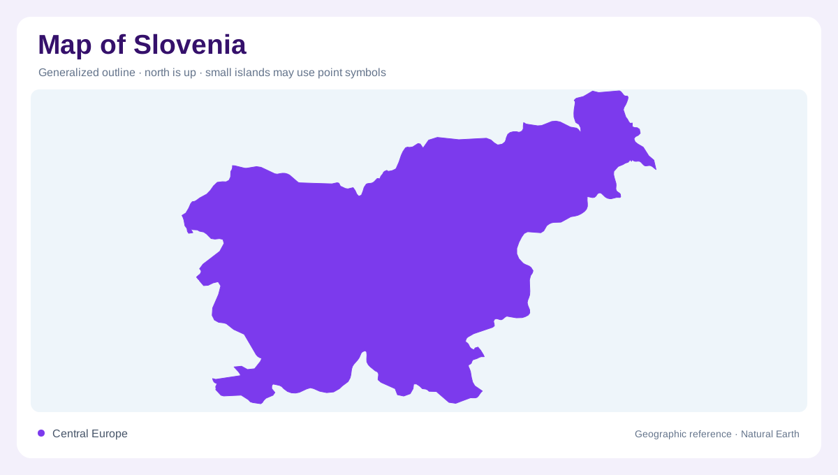
Slovenia is a small Central European country positioned where four geographic worlds meet: the Alps, the Mediterranean, the Karst and the Pannonian Plain. Its outline links Austria to the north, Hungary to the east, Croatia along much of the south and Italy to the west. The country reaches the Adriatic through a short coastal frontage, yet most of its interior is inland and elevated. This compressed arrangement explains Slovenia's unusual variety. Alpine ridges, limestone plateaus, wooded hills, river basins and lowland fields appear within a close map frame. Alpine headwaters connect mountain basins to rivers draining the lower eastern country.
The Alpine north
The northern and northwestern map is dominated by Alpine relief. The Julian Alps rise around the Triglav massif, while the Karawanks mark a long northern wall beside Austria. Farther east, the Kamnik-Savinja Alps create another compact group of steep summits and narrow valleys. Triglav, at 2,864 metres, is Slovenia's highest mountain and a useful reference point for the country's elevation pattern. Snow, forests and exposed rock are concentrated in these uplands, but the mountains are deeply dissected rather than forming one unbroken barrier. The upper Sava valleys provide important corridors between enclosed basins and neighbouring regions beneath the Alpine ridges.
Limestone beneath the surface
South of the highest Alps, the landscape changes into a broad limestone world of plateaus, ridges and concealed drainage. The Dinaric Karst is expressed through caves, sinkholes, dry valleys and rivers that may disappear underground before reappearing farther away. The Ljubljanica basin is especially instructive because water from karst fields can gather, vanish and return through a complicated subterranean network. Forest cover softens the relief when viewed from above, so a simple green map can hide considerable vertical variation beneath an apparently gentle wooded surface. Contours, cave symbols and intermittent streams are essential for understanding this central and southern terrain.
A small Adriatic edge
Slovenia's southwestern corner reaches the Adriatic around the Gulf of Trieste. The coast is short, but it introduces a distinctly maritime environment into a country otherwise shaped by mountain and continental systems. Low coastal strips alternate with flysch hills, wooded slopes and the inland Vipava landscape. The Karst plateau stands between the sea and interior basins, helping explain why coastal weather does not simply spread across the national map. Rivers descending from higher country also change character as they approach the coast, carrying sediment through valleys that open toward the northern Adriatic between the foothills and the Gulf of Trieste.
The northeastern transition
In the east and northeast, Slovenia descends toward the Pannonian Plain. The Sava, Drava and Mura organize broad valleys and low basins, while low hills and vineyards interrupt the flatness near the borders. This region feels more continental than the coast and more open than the Alpine northwest. Slovenia's official tourism geography describes the country as a meeting place for Alpine, Mediterranean, Karst and Pannonian environments; its nature guidance also distinguishes Alpine, sub-Mediterranean and northeastern continental climates. A map becomes clearest when those climatic transitions are read alongside relief, drainage and land cover across a surprisingly compact national geographic frame.