A long Pacific archipelago
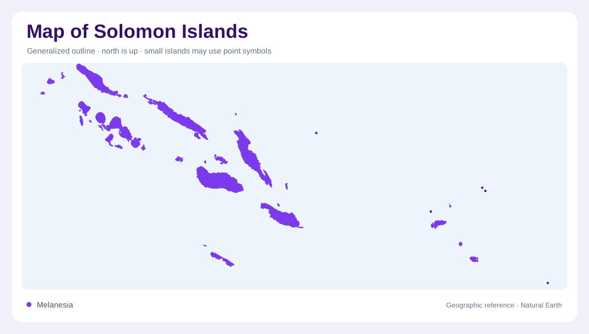
Solomon Islands is an archipelago of 992 tropical islands and atolls in the South Pacific, between Papua New Guinea and Vanuatu. The islands form two major, roughly parallel chains extending about 1,800 kilometres from the Shortland Islands in the west toward Tikopia and Anuta in the east. This length matters more than the small size of any individual island. Ocean passages, not land borders, organize the national map. The western end lies close to Bougainville, while the eastern outliers approach the open Pacific. A useful overview should show both chains and preserve the water separating their scattered members at sea.
Guadalcanal and the capital coast
Guadalcanal is the largest island and the central reference for the country's southern chain. Honiara occupies its north coast, facing Iron Bottom Sound between Guadalcanal, Nggela and Savo. Behind the capital, steep mountains rise quickly, while the island's southern side is known for a wetter Weather Coast and the eastern Marau Sound. The highest summit reaches about 2,331 metres, giving Guadalcanal a strong interior spine. Its opposing coasts do not form a simple mirror image: settlement and transport concentrate around the northern frontage, while relief and weather make the southern margin more compartmentalized between steep catchments descending from the interior.
Western channels and volcanic islands
The Western Province is a maze of larger islands, narrow channels and enclosed marine spaces. New Georgia and neighbouring islands create a complex western outline, with Marovo Lagoon standing out as a vast reef-fringed water body. Gizo provides a recognizable island reference in this province, but the surrounding geography is more dispersed than its labels suggest. The submarine volcano Kavachi adds a geological feature beyond the visible coastline. Volcanic mountains, coral reefs and deep passages therefore belong on the same map. Their juxtaposition explains why western Solomon Islands looks fragmented, even though the islands share one connected arc in detail.
Northern and central island rows
Northwest of Guadalcanal, Choiseul and elongated Santa Isabel continue the principal island system toward Bougainville and Papua New Guinea. Malaita forms another substantial island farther southeast, with long coastal reaches and a mountainous interior. Nggela's paired islands help shape the sound in front of Honiara, while smaller islands fill the passages between the larger landforms. The arrangement is tectonic and oceanic rather than continental: ridges emerge as islands, channels separate them, and reefs often extend beyond the apparent shore. Administrative province names are useful labels, but they should not conceal this broken physical structure of ridges separated by deep channels.
Atolls and the far eastern reach
Rennell and Bellona form a distinctive southern province, distant from the main central islands. Rennell is described by the national tourism authority as the world's largest raised coral atoll and as home to Lake Tegano, the largest lake in the Insular Pacific. Farther east, Temotu includes remote islands such as Tikopia and Anuta, marking the archipelago's long reach toward Vanuatu. These low or isolated landforms contrast with Guadalcanal's volcanic height. On a wall map, an inset or expanded scale is valuable: otherwise the eastern islands disappear, and the country appears much shorter than its geography actually is across the Pacific.