The Horn's eastern edge
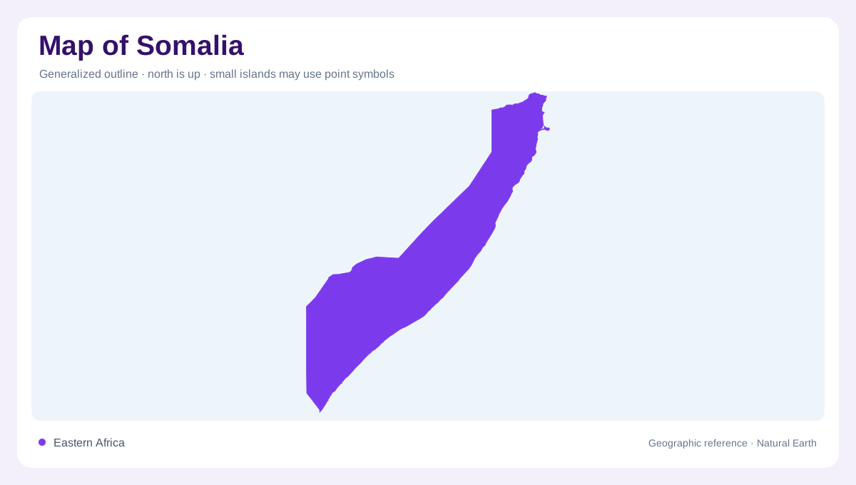
Somalia occupies the easternmost part of continental Africa, projecting into the Indian Ocean as the long Horn of Africa. Ethiopia borders it to the west, Djibouti lies to the northwest and Kenya meets its southwestern side. The Gulf of Aden forms the northern frontage, while the Indian Ocean runs along the east and south. Somalia's coastline is the longest on the African mainland, so the national outline is strongly maritime even where the interior appears dry. Mogadishu sits on the central coast, a useful reference between the northern gulf and the southern oceanic arc across the entire continent's easternmost projection.
Northern plateaus and gulf country
Northern Somalia rises from the Gulf of Aden into escarpments, rocky ranges and elevated plateaus. Relief is generally more pronounced near the northern coast than across the central interior, although broad upland surfaces continue eastward and southward. Seasonal wadis cut through these drier landscapes, carrying water only after rain and leaving channels that remain visible long after flow has stopped. The federal tourism source describes Garoowe in the Nugaal Valley as surrounded by gradually ascending high plateaus, commonly reaching 500 to 1,000 metres, with numerous dry watercourses crossing the western plateau that become important geographic clues between the seasonal storms.
Dry plains and two great rivers
Much of central and southern Somalia consists of open plains, thorn scrub and low relief shaped by strongly seasonal rainfall. The Shabelle and Jubba provide the principal perennial river corridors, descending from the Ethiopian highlands and creating greener belts within otherwise dry country. Away from those valleys, watercourses are commonly intermittent, and a map may show drainage that is not continuously wet. This contrast is central to the national geography. River lines, flood zones and dry-season landscapes should be distinguished from one another, because the same plain can change sharply between rainy and rainless months across the settled river corridors.
Coasts, estuaries and ocean-facing cities
The southern coast bends around the mouth of the Jubba, where Kismayo stands near the point at which the river reaches the Indian Ocean. The official tourism page identifies Goobweyn Junction nearby, marking the meeting of river water and ocean saltwater, where sediment carried downstream enters a changing coastal and estuarine environment. Farther north, the coast passes Mogadishu and a sequence of sandy shores, inlets and urban waterfronts before turning toward the Gulf of Aden. Along the eastern margin, the Indian Ocean is not merely a boundary: it shapes estuaries, coastal plains, fishing grounds and the orientation of major settlements.
Unequal flows from the Ethiopian highlands
The Shabelle and Jubba belong to catchments extending well beyond Somalia. FAO's basin account traces both rivers to Ethiopia and describes declining discharge through Somalia as water seeps underground, evaporates or spills across low banks. The Shabelle's lower reaches can cease flowing during dry periods, despite its importance as a major river corridor. A continuous blue line therefore cannot guarantee continuous surface water. This hydrological pattern links highland rainfall outside the country with agricultural and floodplain landscapes inside it. It also distinguishes the southern river systems from northern wadis, whose short-lived flows respond more directly to rain in nearby uplands.