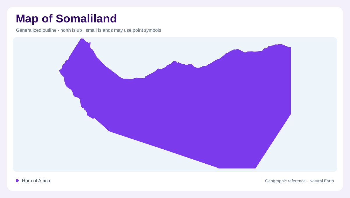
A status-aware geographic frame
The name Somaliland is used here for a geographic unit in the northwestern Horn of Africa, not as a conclusion about sovereignty. Its political status is disputed, and the project keeps that question separate from physical description. The region faces the Gulf of Aden, lies beside Djibouti and Ethiopia, and continues eastward into the wider Somali peninsula. On a regional map, its northern coast and inland plateau form a clear geographic pairing. Seasonal rainfall, sparse vegetation and strong elevation changes shape the landscape, while the surrounding sea and borders make this a distinct corner of the Horn in cartographic terms.
The Gulf of Aden frontage
The northern edge descends toward the Gulf of Aden through coastal plains, rocky shores and narrow strips of low ground. Behind that frontage, relief rises rapidly in places, so coastal settlements and interior uplands can be close together while occupying different climatic settings. The gulf also gives the region an important east-west orientation: headlands, coves and port approaches follow the water rather than a straight continental boundary. A map should preserve the sea's full width north of the coastline, because the marine corridor is central to understanding the region's position between Africa and Arabia, with Berbera and Zeila marking ports.
Escarpments and elevated country
South of the coast, escarpments and upland plateaus create the strongest relief pattern. The northern ranges and associated high country separate the immediate gulf environment from broader interior surfaces, while ridges and passes organize movement across the north. Elevation is not continuous; dry valleys, broken hills and open tablelands interrupt the mountain line. Rainfall remains irregular, so vegetation often follows shallow soils, drainage lines and sheltered slopes rather than covering every highland evenly. These transitions are easy to miss on a political map, yet they explain why the northern Horn cannot be represented as one level desert across the interior.
Hargeisa's valley and branching gullies
Hargeisa provides a closer view of the inland landscape. UN-Habitat's spatial analysis places the city within a valley divided by a river channel, with gullies entering across the main drainage direction. This arrangement gives the urban ground an undulating character rather than a level platform. Escarpments and the floodplain add further breaks within the built environment. The city therefore demonstrates how seasonal drainage remains geographically important even where buildings dominate a map. Its valley, lateral gullies and adjoining higher ground form a connected system, linking individual neighborhoods to water moving through a broader inland catchment after substantial episodes of rainfall.
Coastal ports and an inland landmark
Berbera and Zeila locate the coastal side of Somaliland's geography, while Hargeisa anchors the interior near Ethiopia. Laas Geel contributes a different reference: rock shelters containing ancient paintings within the northern Horn's rocky landscape. These named places should not be confused with continuous settlement across the intervening country. The gulf shore, upland valleys and exposed rock outcrops create distinct settings for human activity. At regional scale, those relationships explain the contrast between maritime and inland centers. At closer scale, Hargeisa's tributary gullies show how small landforms can structure a city within the much larger plateau environment behind the northern escarpments.