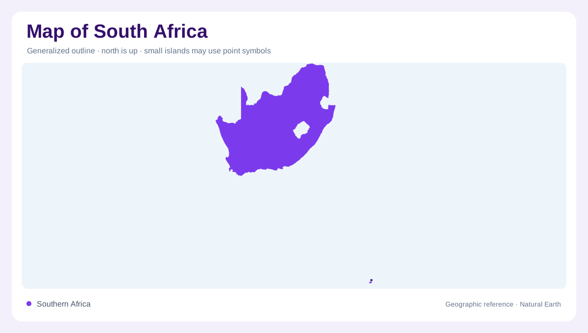
A country of strong contrasts
South Africa occupies the southern tip of the continent, with Atlantic and Indian Ocean margins wrapping around a vast interior. Its physical outline is not a simple coastal strip: high plateaus, escarpment edges, dry basins and mountain belts occupy most of the national area. The official tourism authority presents the country through nine provinces and a landscape range that includes mountains, forests, bushveld, beaches, savannahs and deserts. Those categories are geographically connected rather than isolated attractions. Relief, rainfall and ocean influence change across relatively short distances, giving a national map several distinct regional identities between the Cape and eastern seaboard.
Plateau, escarpment and western basins
The interior plateau rises behind the coastal margins and is bounded in places by the Great Escarpment. In the west and centre, broad open country includes the Karoo's semi-arid basins, while the Kalahari reaches into the far northwest. The Orange River cuts across dry landscapes toward the Atlantic, and the Vaal helps organize the high interior before joining that larger system. Mountains appear as rims, ranges and isolated massifs rather than one continuous wall. On a relief map, the plateau explains why western horizons can feel expansive even where escarpment slopes are close by beneath the plateau's open, exposed margins.
The Drakensberg wall
Along the eastern highlands, the Drakensberg forms South Africa's most dramatic elevated edge. The official tourism account of the uKhahlamba-Drakensberg describes western KwaZulu-Natal as a landscape of mountain scenery, yellowwood forests, indigenous grasslands and numerous rivers and streams. The protected park covers about 243,000 hectares and continues across the border as part of the Maloti-Drakensberg Transfrontier Park with Lesotho. Southern, central and northern mountain sectors are useful map distinctions, but the whole range functions as a connected watershed and escarpment system above the KwaZulu-Natal Midlands, with high ridges, deeply cut valleys and source streams feeding lower country beyond the escarpment.
Coastal climates and river routes
South Africa's coast changes character from cool, dry Atlantic shores to warmer Indian Ocean margins. The southwest combines rugged mountains, coastal plains and Mediterranean-type vegetation, while eastern lowlands support denser greenery where warmer water and summer rainfall influence the landscape. The Limpopo drains the northeast, the Orange crosses the interior, and shorter rivers descend from eastern mountains toward the ocean. Estuaries, dune fields and sheltered bays interrupt the national shoreline. These water routes help explain why settlement, farming and ecological zones do not follow province boundaries in a simple or uniform pattern between the dry west and wetter eastern slopes.
Nine provinces, many physical regions
Provincial boundaries overlay a country already divided by elevation and climate. KwaZulu-Natal wraps around the Drakensberg's eastern side, the Western Cape combines coast, folded mountains and dry interior valleys, and the Northern Cape contains large arid expanses along the Orange. Gauteng sits on the high interior plateau, while Limpopo and Mpumalanga extend toward northeastern escarpments and subtropical lowlands. A useful map keeps administrative colour separate from physical shading. South Africa's geography is best understood through their intersection: nine governing regions sharing an uneven, ocean-facing continent-edge landscape where altitude, rainfall and geology produce sharply different regional landscape patterns across the map.