From a mountain corner toward tidewater
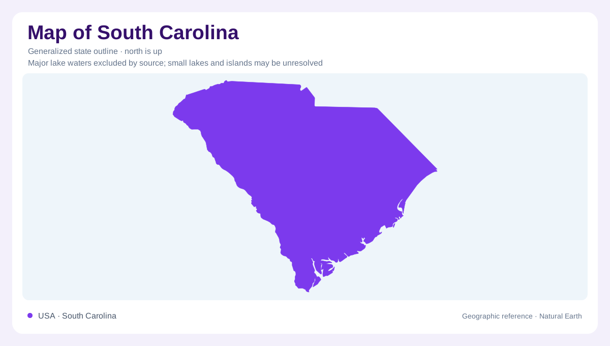
South Carolina broadens from a northwestern mountain setting toward the Atlantic coast. The Blue Ridge occupies only part of the state, but its high ground contributes a distinct landscape beside the rolling Piedmont and lower Coastal Plain. These regions should not be confused with a single gentle slope to the ocean. Rivers cut valleys through the uplands, floodplains interrupt the inland surface, and tidal waters complicate the coast. The state's outline supplies a useful frame for this arrangement. Its internal geography, however, depends on differences in elevation, rock, sediment, and water movement that a plain silhouette does not display.
Upland rock and mountain rainfall
The Piedmont's hills and the Blue Ridge mountains are underlain largely by crystalline rocks, including granite, gneiss, and schist. Weathering produces a mantle above that foundation, while fractures provide paths for groundwater within it. This is a different underground setting from the loose sediments farther seaward. In the far northwest, high ground also forces moist air upward and produces locally abundant rainfall. The area around Lake Jocassee illustrates that mountain influence. Statewide precipitation is therefore not determined only by proximity to the Atlantic. Upland relief can create a wet district far inland, while lower intervening areas receive less rainfall.
The Coastal Plain has depth as well as width
Across the Coastal Plain, younger sedimentary deposits replace the crystalline foundation at the surface. Sand, clay, and locally carbonate rock form layers that can extend beneath one another toward the coast. Several aquifer systems may consequently occupy the same geographic location at different depths. This layered geology helps explain why a river map alone cannot describe South Carolina's water resources. Surface channels drain the landscape, while groundwater occupies and moves through materials below them. The contrast with the Piedmont is particularly useful: fractures dominate water movement in hard crystalline rock, whereas spaces between grains matter greatly in many coastal sediments.
Congaree is shaped by returning floods
Congaree National Park preserves a floodplain landscape supplied by the Congaree and Wateree rivers. Floodwater spreads through bottomland forest and deposits fresh sediment. Oxbow lakes, sloughs, slow creeks, and forested wetlands occupy different parts of that surface. Even small changes in elevation can support different plant communities, so the apparent flatness hides important local variation. Along the northern floodplain margin, bluffs lead to upland pine forest, where fire has a different ecological role from flooding below. This juxtaposition explains why swamp is an incomplete label for the area: regularly flooded bottoms and drier uplands form adjoining but distinct environments.
Three rivers meet the sea
Farther along the coastal Lowcountry, the ACE Basin takes its name from the Ashepoo, Combahee, and Edisto rivers, which meet at Saint Helena Sound. Its estuarine landscape includes tidal marshes, oyster reefs, cypress swamps, and former rice fields. These features record both natural water movement and past human modification of low ground. The sound provides a coastal reference separate from the inland river channels feeding it. Together with Congaree's freshwater floodplain, the ACE Basin demonstrates why South Carolina's wetlands require careful geographic distinctions. Flooding from rivers, tidal inundation, and upland drainage produce different settings even when all appear as low, water rich country.