A composite Southern Ocean territory
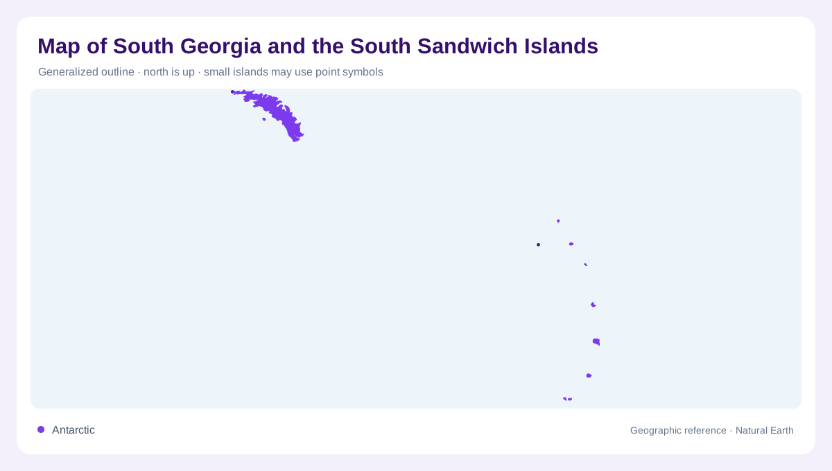
South Georgia and the South Sandwich Islands form a remote British Overseas Territory in the Southern Ocean, about 800 miles southeast of the Falkland Islands. The name describes two very different island groups rather than one continuous landmass. South Georgia is a large, mountainous island with glaciers and sheltered coastal inlets; the South Sandwich Islands are a separated chain of small volcanic islands much farther east and south. Their ocean setting is essential to the map. A single national outline can mislead unless it includes an inset or scale showing the distance between the components on a regional ocean chart.
South Georgia's glaciated spine
South Georgia is approximately 170 kilometres long, between 2 and 40 kilometres wide, and covers about 3,755 square kilometres. More than half of its surface is permanently ice covered. The island's mountains rise steeply from a deeply indented coast, leaving narrow valleys and glacier tongues between rugged ridges. Mount Paget reaches 2,934 metres and is the highest point in the territory. On a physical map, the island reads as an elongated northwest-southeast mountain spine, with ice and high relief occupying the interior while beaches, bays and former settlement sites cluster along accessible coastal margins against the weather-facing Southern Ocean edge.
The volcanic southern chain
The South Sandwich Islands comprise eleven small volcanic islands arranged in a north-south chain between about 56 and 60 degrees south. They lie roughly 350 to 500 miles southeast of South Georgia, a separation that deserves clear cartographic treatment. The islands are peaks of an active volcanic arc, rising from deep Southern Ocean waters and offering little level ground. Neither group has permanent residents, although South Georgia supports research stations and administrative facilities. Individual islands can be difficult to distinguish at national scale, so an enlarged inset helps preserve their order, spacing and volcanic character under severe southern maritime conditions.
A territory dominated by ocean
The land is only part of this territory's geography. The government describes a maritime zone extending 200 nautical miles from the baselines and covering more than 1,000,000 square kilometres of Southern Ocean. Productive waters support krill, seabirds and marine mammals, while the island groups provide breeding and feeding ground rather than conventional urban geography. British Antarctic Survey bases operate at King Edward Point and Bird Island on South Georgia; the South Sandwich group remains uninhabited. Any map that enlarges the islands without showing their surrounding water understates the territory's real spatial scale. They are not ordinary, permanently inhabited island communities.
Neutral lines on a contested map
The territory is administered by the United Kingdom, while Argentina maintains sovereignty claims to South Georgia dating from 1927 and to the South Sandwich Islands from 1948. The government page also records Argentina's 1982 occupation. These facts make boundary styling consequential: a map can identify present administration without presenting the claim as universally settled. South Georgia's former whaling stations and research bases should not be mistaken for permanent towns, and the South Sandwich Islands should not be populated with invented settlements. Ice, volcanic relief, marine jurisdiction and diplomatic qualification belong together without confusing effective administration with agreement over sovereignty claims.