A mountainous peninsula
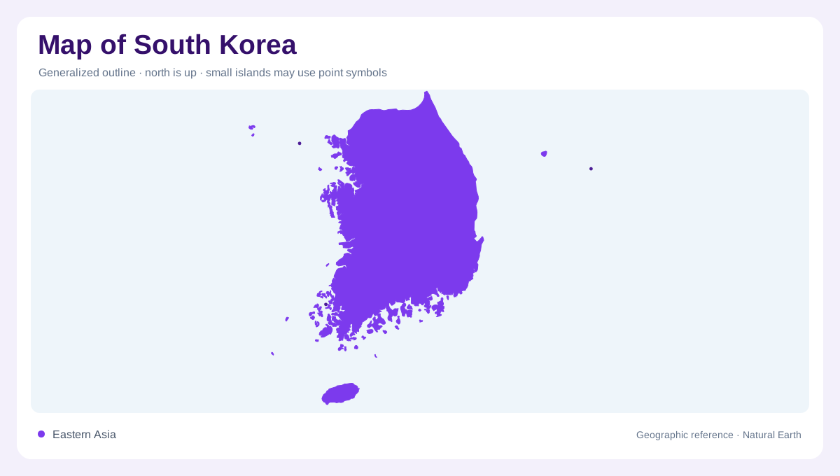
South Korea occupies the southern portion of the Korean Peninsula, with the Yellow Sea to the west, the Korea Strait and East China Sea to the south, and the Sea of Japan/East Sea eastward. Mountains cover more than 70 percent of the peninsula, according to an official Korea Tourism Organization geography note. The broad pattern is high in the east and lower in the west. That asymmetry shapes nearly every map layer: rivers generally seek western or southern outlets, broad plains cluster beside low coasts, and eastern ridges form a persistent inland backdrop behind densely settled corridors at peninsula scale.
Eastern ranges and interior basins
Mountain ranges run along the eastern side, creating a long elevated framework rather than a single isolated summit. The Taebaek range forms the principal spine, with the Sobaek system branching southwest through the interior. Passes and river valleys cut across these uplands, connecting enclosed basins with the western lowlands. The east-facing slopes are often steep and narrow, while inland valleys widen around cities and agricultural floors. Reading contours together with drainage makes the peninsula's shape clearer: the mountains stand close to the eastern coast, leaving less lowland space there than along the west and south across the central Korean landmass.
Western plains and island seas
The lower western side contains broader plains, reclaimed shorelines and major estuaries. The Han, Geum and Yeongsan river systems reach toward the Yellow Sea, while tidal flats and shallow coastal waters soften the boundary between land and ocean. Southward, the coast becomes more intricate, with peninsulas, bays and many islands forming the sea known in Korean geography as Dadohae. Incheon and the metropolitan west sit within this low-relief setting, but the interior horizon still carries distant mountains. Western flatness is therefore relative: it describes a coastal and riverine contrast with the higher east beside steep slopes and narrow coastal strips.
Jeju's volcanic island
Jeju lies off the southern tip of the peninsula and adds a volcanic chapter to South Korea's geography. The official tourism organization describes Hallasan Mountain, its crater lake Baengnokdam, more than 360 oreum, and dramatic columnar joints as signatures of the island. Forests, lava formations and parasitic cones create a landform pattern unlike the mainland's folded ranges. Jeju's position is important on a national map because it is separated by open water rather than attached to the peninsula. Its scale can be enlarged without losing the fact that it belongs to a wider maritime setting across the southern island waters.
Relief beneath a dense settlement map
South Korea's urban geography follows the meeting of lowlands, rivers and mountain passes. Seoul and Incheon occupy the western side of the peninsula's central lowland system, while Busan anchors the southeastern coast beyond the mountain spine. Between them, industrial corridors, agricultural basins and upland districts alternate quickly. A political map can make the country appear densely covered and uniform, yet physical shading reveals why settlement concentrates in certain valleys and coastal plains. The most informative view keeps mountains, estuaries, islands and urban labels together without allowing city names to hide the underlying relief from coast to mountain and back again.