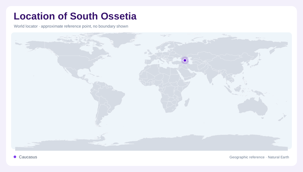
On the southern side of the Caucasus
South Ossetia occupies mountainous ground on the southern side of the Greater Caucasus, adjoining Russia across the range. It is a disputed territory within Georgia's internationally recognised borders, under separate de facto administration. Its inclusion on a geographic map does not resolve that status. The distinction is especially important here because the mountain crest, river catchments and administrative lines describe different relationships. Start with the Greater Caucasus to establish the northern frame, then follow the relief downward towards Georgia's interior. North Ossetia, across the mountains in Russia, is a different territorial unit despite the shared name and regional geographic relationship.
Valleys open between parallel ridges
The Didi Liakhvi, or Greater Liakhvi, supplies one of the valley references through this broken terrain. Smaller tributaries descend from intervening slopes, creating branches that can disappear when a regional map is simplified. A line drawn along the river therefore describes only the valley bottom, not the width or difficulty of the surrounding relief. The Ksani provides another eastern valley axis. Comparing these separate systems helps explain why nearby places need not occupy the same natural corridor. Mountains between tributaries remain significant even when their names are omitted or a political map uses one colour across the entire territory.
Tskhinvali and the southern landscape
Tskhinvali lies in the southern part of South Ossetia, associated with the Liakhvi valley rather than the highest northern ridges. Its position makes it a useful reference for comparing the settled lower terrain with the mountainous interior. Gori lies farther south outside South Ossetia, within the broader Mtkvari valley landscape. These names should not be collapsed into a single urban area. Water links nevertheless cross the divisions visible on political maps: EU monitoring material documents the Didi Liakhvi's relationship with irrigation around Nikosi and Saltvisi. That historical example demonstrates a physical connection without establishing present operating conditions for the irrigation system.
The western watershed changes the regional view
The Likhi and Racha ridges help separate drainage towards the Black Sea from the predominantly eastward Kura basin setting. Most of South Ossetia belongs to the latter system, while its northwestern corner complicates a simple single-basin description. The Mtkvari and Kura names refer to the same larger river system encountered in Georgian and regional usage. Following tributaries beyond a territorial outline is consequently essential to understanding where their water ultimately travels. A map focused only on South Ossetia may cut those downstream connections off at its edge, giving the misleading impression that the area's rivers constitute an isolated mountain network.
Place names outlast changing map conventions
EU monitoring reports use the term Administrative Boundary Line for the dividing line around South Ossetia. It should not be read as an ordinary internationally agreed state boundary or as confirmation that a crossing is accessible. Historical village names also carry meaning beyond present settlement symbols. Kekhvi, for example, appears in documented cultural heritage associated with the Didi Liakhvi valley and displaced communities. Comparing map editions therefore requires attention to dates, naming conventions and what each publication represents. Keep the stable framework of ridges, valleys and downstream drainage visible while treating administrative colouring and depictions of inhabited places with care.