An inland country organised by water
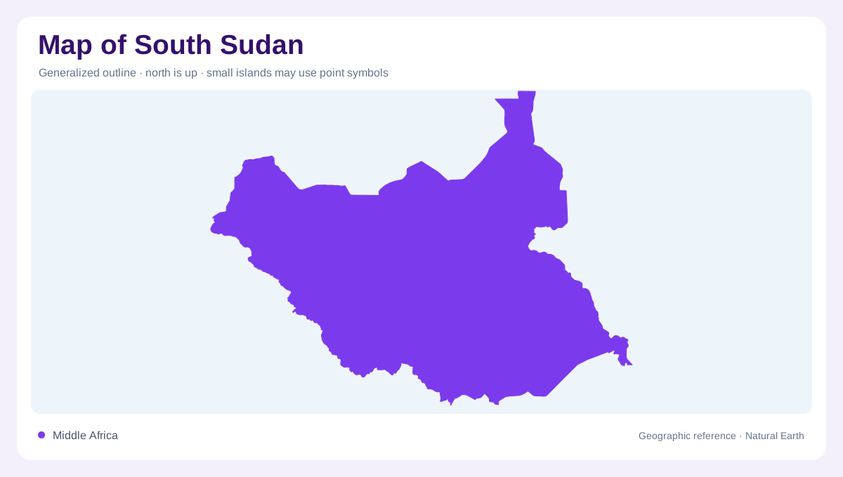
South Sudan occupies an inland position between the upper Nile basin and the northern edge of equatorial Africa. Sudan lies north, while Ethiopia and Kenya are eastward neighbours. Uganda and the Democratic Republic of the Congo border the south, and the Central African Republic lies west. This surrounding land matters: no coastline provides an obvious starting edge for reading the country. Instead, begin with the White Nile and follow the broad plains around it. A regional map reveals connections beyond national boundaries, because the river arrives from Uganda and continues towards Sudan through a landscape much wider than its channel.
The Sudd spreads beyond a river line
The Sudd transforms the White Nile from a recognisable river corridor into an extensive wetland mosaic. Open water, marsh vegetation, flooded grasslands and woodland occupy different positions across this very shallow basin. A narrow blue line therefore represents only part of the actual water landscape. Seasonal inundation expands into surrounding ground, while permanent wetland persists through drier periods. Ramsar identifies the lower Bahr el Jebel as the setting of this immense system. Reading marsh symbols alongside elevation gives a better explanation of its form than searching for a single lake outline or treating every grassy surface as consistently dry land.
Rising ground towards Equatoria
The country's southern landscapes introduce relief that a flat overview can easily conceal. Plains give way to higher ground towards Equatoria, culminating in the Imatong Mountains near the Ugandan border. These uplands contrast with the clay plains through which the Nile moves farther north. Contour spacing becomes particularly informative here: tightly packed lines describe steep slopes, while broad spacing marks more gradual rises. Forest and mountain vegetation also distinguish parts of the south from open floodplain environments. The transition is geographically important because a single national terrain colour can otherwise imply that South Sudan has no meaningful internal elevation differences.
Flood cycles and inhabited landscapes
Settlement geography cannot be separated from the alternating availability of water and firm ground. Around the Sudd, communities have long used higher locations for permanent settlement while moving livestock towards seasonally productive grazing areas. Floodplain grasses regenerate through rain and inundation, so the wetland is also a working landscape. A settlement symbol beside a marsh should not suggest that surrounding conditions remain identical throughout the year. Nor does an unlabelled expanse imply an absence of people or livelihoods. Distinguishing higher ground, seasonal grassland and river channels helps explain spatial relationships that a map displaying only towns and boundaries would obscure.
Reading the basin at two scales
At national scale, compare the southern rise in elevation with the central wetland depression and the river's northward continuation. At local scale, separate open channels from flooded vegetation and look for slight changes in height along their margins. These small differences can matter more than the dramatic relief visible in mountain countries. South Sudan's outline and the Sudd's wetland extent describe different things: one concerns territorial coverage, the other a changing hydrological environment. Historical maps also require their publication dates, since the country became independent in 2011. Older Sudan labels may encompass territory now shown separately on contemporary regional maps.