An elevated peninsula and separated territories
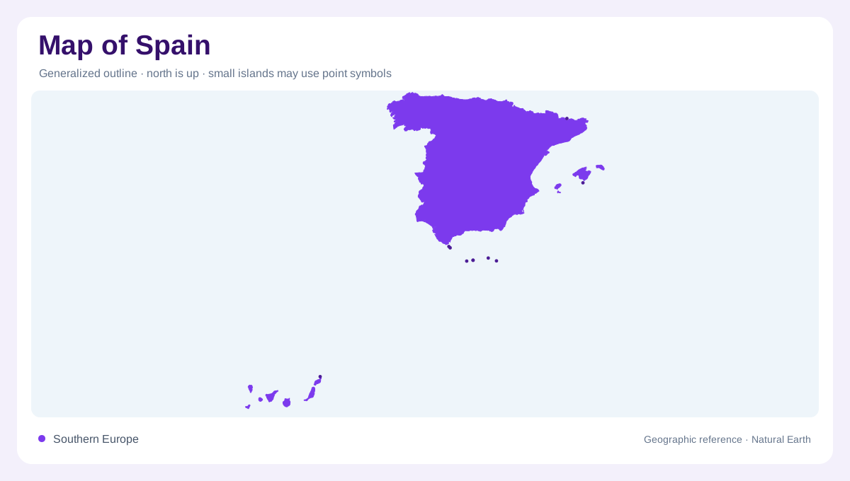
Spain occupies most of the Iberian Peninsula, but a peninsula-only view leaves geography outside the frame. The Balearic Islands lie in the Mediterranean, while the Canary Islands form an Atlantic archipelago off northwestern Africa. Ceuta and Melilla occupy separate locations on the North African coast. These components require regional context or clearly labelled inset maps. On the mainland, the most revealing starting point is the Meseta, an extensive elevated interior. Spain's broad central spaces are therefore not simply low plains. Their height, surrounding mountains and connection to coastal basins explain much of the country's distinctive outline and internal physical structure.
Mountains frame and divide the Meseta
The Sistema Central divides the Meseta into northern and southern parts. Around this interior, the Cantabrian Mountains, Sistema Ibérico and Sierra Morena establish prominent margins, while the Pyrenees form a separate northeastern mountain system. Farther south, the Betic ranges contain the peninsula's highest summit, Mulhacén. Mountain belts frequently approach the coast closely, leaving only narrow lowland strips between steep terrain and sea. A plain-looking patch on a national map may consequently sit above a deeply cut valley. Reading elevation and slope together distinguishes a high plateau from a coastal plain, even when neither shows dramatic peaks within the map frame.
River basins point towards different seas
The Duero, Tajo and Guadiana connect the interior with Atlantic drainage through Portugal, whereas the Ebro gathers water in the northeast and reaches the Mediterranean. The Guadalquivir occupies a southern depression with an Atlantic outlet. These basin shapes cut across regional labels and provide another way to organise Spain. The Ebro also differs from many shorter Mediterranean rivers because its tributaries include substantial mountain contributions. Reservoirs further reshape individual valleys, so broad water surfaces along a river may represent impoundments. A catchment map clarifies where water comes from; the coastline alone cannot explain the seasonal behaviour of each river system.
The Mediterranean islands have their own relief
Mallorca, Menorca, Ibiza and Formentera are distinct islands rather than parts of a continuous coastal extension. Mallorca's Serra de Tramuntana supplies a strong mountainous spine, contrasting with lower terrain elsewhere in the Balearic group. Smaller islands and the Cabrera archipelago also matter at closer scale. Open water between these land masses should remain visible when comparing locations: adjoining inset boxes can otherwise suggest proximity that their placement does not establish. Palma provides an urban reference on Mallorca, but its label does not describe the entire archipelago. Island outlines, mountain orientation and intervening channels offer a more useful framework for geographic comparison.
Atlantic volcanoes complete the national picture
The Canary Islands introduce volcanic relief unlike the mainland's central plateau. Tenerife contains Teide, Spain's highest summit, while the archipelago includes islands with different landforms, such as Lanzarote's lava landscapes. Their Atlantic setting and separation from Iberia deserve an honest map scale. An inset can show shape, but its scale may differ from the mainland panel and should be read independently. Compare the Canaries with the Balearics as two separate island systems, then return to the Meseta and its river basins. Together, these relationships explain why Spain needs more than a single mainland outline to represent its varied geography.