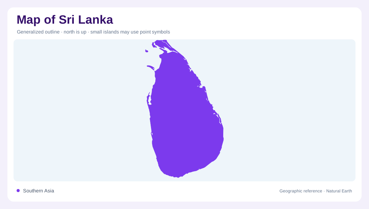
An island with an uneven interior
Sri Lanka lies in the Indian Ocean near India's southeastern tip. Its compact outline can disguise a pronounced difference between broad lowlands and the high country farther south. Much of the island consists of comparatively low terrain, but successive rises culminate in a steep mountain mass. A relief map thus reveals an interior that is neither uniformly mountainous nor completely flat. Begin with that contrast before comparing coastal locations. Two places separated by similar straight distances may occupy quite different elevations, while a nearby ridge can divide their drainage. The island's shape alone does not explain those internal geographical relationships.
The Mahaweli breaks the radial pattern
Many Sri Lankan rivers spread outward from the central highlands towards surrounding coasts, producing a broadly radial drainage pattern. The Mahaweli complicates that picture. After leaving the hills, it runs northward through the interior before reaching the eastern coast through branching lower channels. Its basin is much larger than most of the island's catchments. In the southwest, the Kelani, Kalu, Bentota, Gin and Nilwala form shorter systems. Following individual watersheds prevents a common visual mistake: neighbouring river mouths need not share a single upstream source. The highland mass supplies an organising centre, but each valley retains its own downstream direction.
Rainfall divides landscapes without dividing the island
The southwest monsoon brings substantial rain to southwestern lowlands and exposed hill slopes. Other regions experience a different seasonal balance, including northern and eastern areas influenced by the northeast monsoon. Wet, intermediate and dry zones therefore describe meaningful geographic contrasts within a small island. They are not equivalent to permanent wetness or an absence of rain. A useful comparison places rainfall patterns beside the central relief, showing how exposure to incoming winds changes across the hills. This also explains why national average rainfall cannot adequately describe the water conditions of every basin, farming landscape or coastal plain throughout the year.
Northern water also lies below ground
Jaffna Peninsula introduces a water geography that surface river lines cannot show. Its shallow karstic aquifer differs from the hard rock and alluvial groundwater settings found elsewhere in Sri Lanka. Coastal sand aquifers provide another distinct environment around parts of the island's margin. These differences matter when interpreting a sparsely rivered northern map: a small number of visible streams does not mean that water exists only in distant highland rivers. Geological information adds a second layer beneath the coastline and settlements. It helps distinguish stored groundwater from surface channels without assuming that either resource is uniformly available or equally fresh.
Southern lagoons deserve their own outlines
Bundala on the southern coast illustrates how much detail a simple island boundary omits. Its shallow brackish lagoons and saltpans are connected by channels and accompanied by marshes, dunes and scrub. This is a coastal wetland complex, rather than an inland freshwater lake. Lagoon margins, dune ridges and the open sea consequently need separate symbols if their relationship is to remain clear. At national scale, set this low coastal environment against the highlands and the Mahaweli's inland course. At closer scale, the distinctions between lagoon water, groundwater and river water make Sri Lanka's geography intelligible than a single blue network.