Across the northeastern African interior
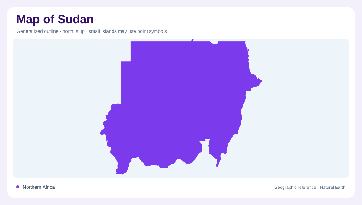
Sudan stretches from the Red Sea into the African interior, joining landscapes that cannot be understood through one desert label. Egypt lies north, Libya northwest, Chad and the Central African Republic westward, and South Sudan south. Ethiopia and Eritrea complete the eastern landward setting. The country's northeastern maritime edge occupies only part of this outline. A map of Sudan consequently needs both continental context and attention to the narrow coastal strip. Older atlases require particular care because their Sudan outline may include South Sudan, which became independent in 2011. Modern geographic comparisons must first establish which territorial coverage is intended.
Two Niles become one river
The White Nile and Blue Nile approach their meeting from different upstream environments. The White Nile arrives from South Sudan, connecting Sudan with the equatorial lake region through intervening wetlands. The Blue Nile descends from the Ethiopian highlands, bringing a strongly seasonal flow. At their confluence, the combined Nile continues towards Egypt. This branching pattern is the clearest organising feature on many Sudan maps. Following each branch separately explains why rainfall far outside the country influences its water landscape. A river crossing dry terrain is therefore not evidence that the surrounding desert produces the water carried along that same channel.
A gradient beyond the cultivated corridor
Away from the Nile, Sudan's broad environmental pattern changes from northern desert through semidesert towards savannah with greater seasonal rainfall farther south. These zones form transitions rather than straight boundaries. Sandy surfaces are prominent in northern and western areas, while central and eastern plains include extensive clay soils. Narrow alluvial strips beside rivers belong to a different landscape again. Comparing a rainfall map with river courses makes this contrast legible: local dryness and available river water need separate interpretation. Uniform sand colouring would hide both the changing ecological background and the comparatively concentrated land use associated with dependable water sources.
Uplands interrupt the apparent flatness
Sudan is broadly low and level, yet three named upland areas complicate that impression. Jebel Marra rises in the west, the Nuba Mountains interrupt the southward interior, and the Red Sea Hills parallel the northeastern maritime margin. Their positions matter as much as their height. They divide drainage, alter local slopes and provide reference points across surrounding plains. Along the east, coastal catchments do not necessarily lead into the Nile. Some drainage instead faces the Red Sea, while the Gash and Baraka systems have their own seasonal character. National relief should therefore be read alongside watershed boundaries, not beneath them.
Seasonal tributaries and historical map dates
The Atbara system adds another Ethiopian highland connection to the Nile, with a flow pattern markedly different from a uniform blue line. Seasonal channels elsewhere may be labelled as khors, and their mapped presence does not establish year-round surface water. This distinction is especially useful when comparing eastern tributaries with desert expanses farther northwest. Sudan's physical framework is relatively enduring, but settlement conditions and control lines cannot be inferred from it. Use the article's river and relief relationships to understand location; read the dates and legends of individual maps before interpreting administrative divisions, disputed margins or any depiction of infrastructure.