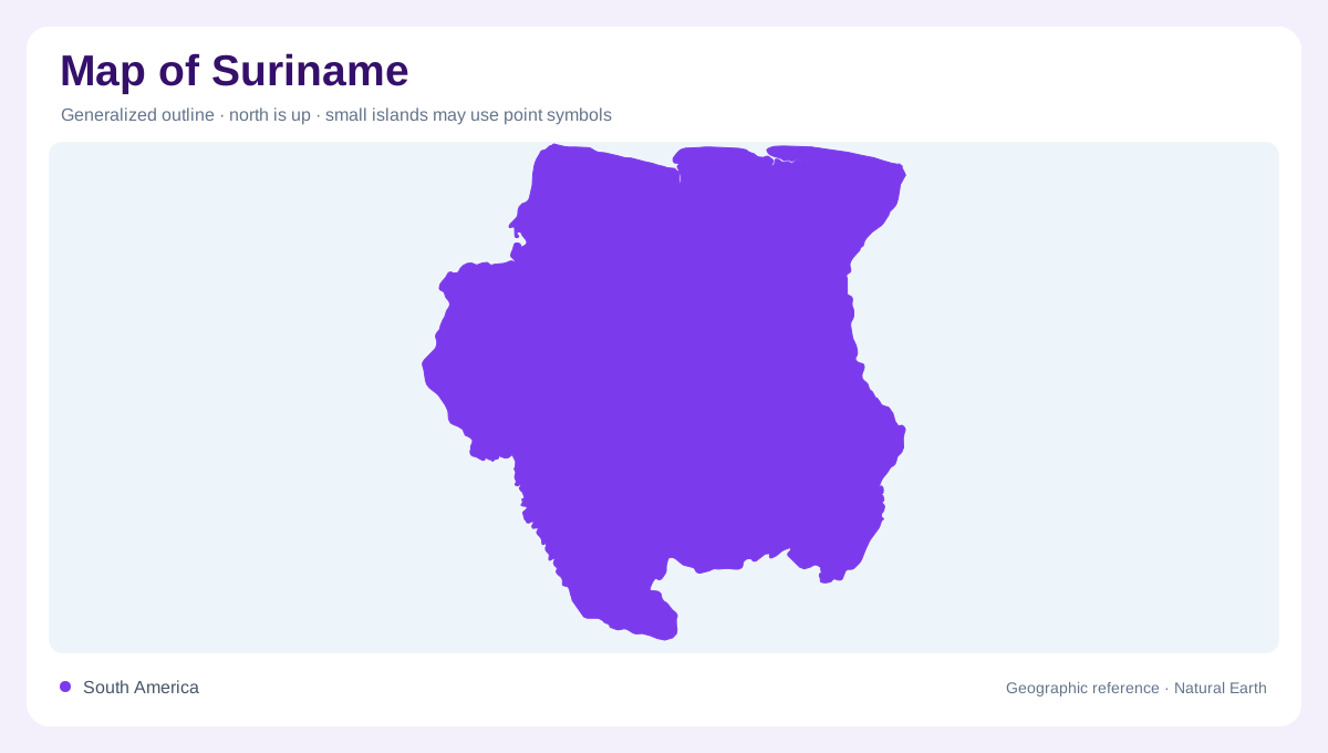
A northern coast, a forested interior
Suriname faces the Atlantic on South America's northeastern shoulder, between Guyana and French Guiana, with Brazil beyond its southern watershed. Its outline encloses two strikingly different spatial patterns: a narrow coastal concentration of settlements and a much larger forested interior. Paramaribo anchors the northern urban landscape, but it cannot stand for the geography of the whole country. Moving south on a physical map means crossing low coastal terrain before reaching the older uplands of the Guiana Shield. This transition explains why the crowded labels near the ocean give way to river names and relief features across much of the interior.
Several landscapes within the coastal plain
Even the apparently level coast contains distinct environments. The younger coastal plain includes clay flats, mangroves, lagoons and brackish swamps influenced by the meeting of river water and sea. Farther inland, remnants of older sandy ridges stand above wet ground. Their modest height is easy to lose in a national overview, yet it separates different soils and drainage conditions. Coastal width also varies, becoming broader towards the west. Looking closely at ridge patterns and estuaries therefore reveals more than a simple strip of green along the Atlantic. The boundary between dry surface and wetland needs a finer scale than mountains.
Rivers point north towards the Atlantic
The Marowijne, also called Maroni, marks the eastern river corridor beside French Guiana; the Corantijn, or Corentyne, lies along Guyana to the west. Between them, the Commewijne, Suriname, Saramacca, Coppename and Nickerie systems drain towards the Atlantic. These parallel basin relationships are more informative than assuming every stream feeds one central river. In the south, the drainage divide separates Surinamese catchments from the Amazon system beyond Brazil's frontier. Tropical forest alone does not identify a river basin: Suriname shares the wider forest environment while its rivers empty northward. Trace their mouths before interpreting the interior as an Amazon tributary landscape.
White sands and ancient uplands
Between coastal deposits and higher interior terrain lies the Zanderij belt, where rolling ground, sandy soils and patches of savannah interrupt the forest picture. Beyond it, the residual uplands occupy most of Suriname and contain hills and mountains rather than an uninterrupted level canopy. Shaded relief is useful because forest colouring can conceal those underlying forms. Tafelberg provides a named reference within this interior landscape, while tributaries divide the higher ground into smaller catchments. Sparsely labelled forest should be read as a cartographic generalisation, never as evidence that a place lacks local names, communities, ecological variation or historical human connections.
Brokopondo changes the water outline
Brokopondo is a reservoir on the Suriname River, created by the Afobaka dam, rather than a naturally enclosed lake. Its broad branching shoreline records the flooding of an existing valley system. This distinction matters when comparing the reservoir with coastal swamps: both appear blue or green on simplified maps, but their origins and shapes differ. Follow the Suriname River through the reservoir and onward towards the northern settled belt to connect the interior with the coast. A useful reading of the country combines these water connections with the coastal ridges, sandy transition belt and older relief beneath the southern forest.