A long Scandinavian shape
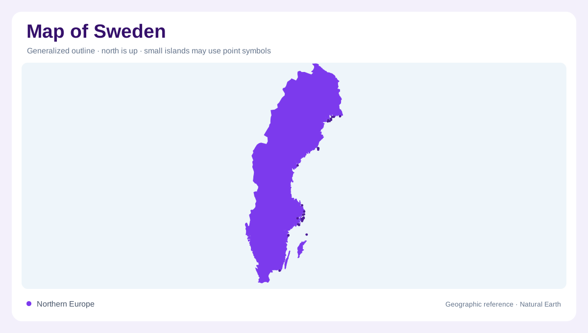
Sweden stretches along the eastern side of the Scandinavian Peninsula, so its map reads as a long north-south country rather than a compact block. Norway follows the mountain-backed western edge, Finland lies across the northeast, and Denmark is reached across narrow southern waters. The Baltic Sea, Gulf of Bothnia, Kattegat and Skagerrak give Sweden several coastal faces. Because the country is tall, latitude changes are as important as distance: a journey from Skane to Norrbotten crosses farmland, lake country, boreal forest and uplands before reaching the Arctic-adjacent north.
Mountains, shield and glacial ground
The Scandinavian Mountains form Sweden's western high rim, with the highest relief in the far northwest near Kebnekaise. Eastward, the land steps down through forested plateaus and river valleys toward the Baltic basin. The Swedish Geological Survey describes Sweden as part of the Fennoscandian Shield, with ancient crystalline and metamorphic rocks, and notes that glaciation shaped much of the surface cover. Till is widespread, so many local maps show a landscape of rounded bedrock, thin soils, lakes and wetlands rather than sharply folded mountain ranges away from the border zone.
Lakes and rivers as guides
Water is one of the clearest ways to read Sweden. Vanern and Vattern dominate the south-central map, while Malaren helps explain Stockholm's position where inland water meets the Baltic archipelago. In the north, rivers generally run from the mountain belt southeast or east toward the Gulf of Bothnia, creating long parallel drainage corridors. FAO AQUASTAT's water resources sheet supports Sweden's large renewable water setting; visually, that abundance appears as lake chains, peatlands, hydroelectric river valleys and coast-facing catchments rather than one single national river axis.
Coasts and islands
Sweden's coast is not a plain line. Around Stockholm, thousands of skerries make a broken transition from city to open Baltic water. Gotland and Oland stand apart in the Baltic, useful reference points for judging the country's southeastern reach. The Gulf of Bothnia narrows northward and helps separate Swedish and Finnish shorelines. Southern Sweden faces busier straits and lower relief, while the northern coast alternates towns, river mouths and forest hinterlands. On regional maps, the coast often carries settlement more continuously than the interior north.
Settlement and scale
Sweden's largest urban concentrations sit in the south and along accessible coasts or lakes, especially around Stockholm, Gothenburg and Malmo. That pattern should not make the north look empty in a careless way: it contains major rivers, mining districts, Sami cultural landscapes, forests and mountain parks spread across much larger spaces. A useful map balances national scale with regional detail, showing how roads and railways follow valleys and coasts while wide inland areas remain dominated by water, bedrock and forest. Sweden rewards reading by bands: coast, lake lowlands, shield country, mountains and far north. At smaller scales, Lapland and the Bothnian coast need generous labeling, because northern counties occupy broad areas where a single town symbol may cover many kilometers of river, forest, marsh and mountain-edge terrain beyond the settled south. That helps prevent Stockholm-centered maps from shrinking the country's northern geography into decorative blank space or treating distance as empty background.