Three geographic regions
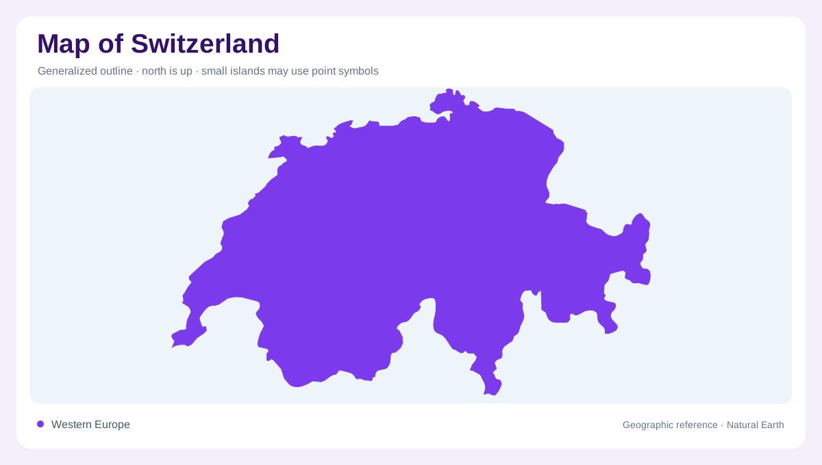
Switzerland's small outline contains three very different map regions: the Alps, the Central Plateau and the Jura. The federal About Switzerland source describes the Alps as covering roughly the largest share of the country, the Plateau as the main urban belt, and the Jura as the northwestern arc toward France. That division is the key to reading almost any Swiss map. The country may look compact beside its five neighbors, but relief compresses distance; a short line between valleys can cross high ridges, tunnels, passes or lake basins.
Alpine height and corridors
The Alps dominate southern and central Switzerland, where peaks, glaciers and deep valleys control settlement more than straight-line distance. Dufourspitze in the Monte Rosa massif is identified by the federal source as Switzerland's highest peak, while the Gotthard area gathers important headwaters and transport corridors. Alpine maps need contours, tunnel routes and valley names because roads often thread through constrained floors before crossing or diving under divides. The Rhone Valley, Engadine, Ticino valleys and Bernese Oberland each create distinct geographic compartments within the wider mountain belt.
Plateau cities and lakes
The Central Plateau, or Mittelland, carries the densest settlement pattern. Zurich, Bern, Basel, Lausanne and many smaller cities relate to this lower, more connected belt between the Alps and Jura. Lakes mark the belt clearly: Geneva, Neuchatel, Biel, Lucerne and Zurich all help orient the map, while Lake Constance sits on the northeastern edge. The plateau is not flat like a coastal plain; it is a rolling corridor of rivers, moraines, towns and farmland. Still, compared with the Alps, it provides Switzerland's broadest continuous space for movement.
Water tower of Europe
Switzerland's rivers matter beyond its borders. Federal material notes that the Rhine, Rhone, Reuss and Ticino have sources in the Gotthard massif area, and that Switzerland holds a notable share of Europe's freshwater reserves. On a map, this means watersheds diverge in several directions: the Rhine heads north, the Rhone west, Ticino south toward the Po system, and the Inn east into the Danube system. FAO's water resources sheet supports the emphasis on abundant renewable water, but local topography decides where that water can be stored, crossed or settled.
Jura and borders
The Jura forms a lower but important mountain arc along the French side, with forest, pasture and folded ridges. It should not be overshadowed by the Alps, because it frames the northwest and narrows routes toward Basel and Lake Geneva. Switzerland's borders with Italy, France, Germany, Austria and Liechtenstein follow a mixture of ridges, rivers, lakes and historical lines, so border reading is not uniform. A useful national map therefore shows more than famous peaks: it reveals how the Plateau links cities while the Alps and Jura partition space into valleys, passes and basins. At country scale, the important pattern is not merely height but connectivity: lakes, passes, tunnels and valley mouths decide whether neighboring places feel close, while nearby slopes can belong to different drainage basins and climates. That is why Swiss maps need both physical relief and settlement layers in the same view, not separate decorative panels only.