Between coast and steppe
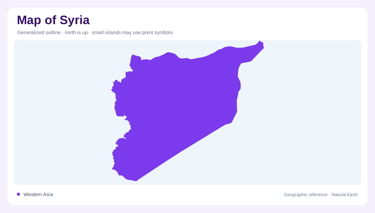
Syria sits at the eastern end of the Mediterranean, where a short coastline gives way quickly to mountains, inland basins, steppe and desert. Turkey borders the north, Iraq the east, Jordan the south, and Lebanon, Israel and the occupied Golan area lie along the southwestern side. A national map can look deceptively simple because much of the interior is open. The important reading is west to east: coastal plain, mountain and highland belts, the Orontes and Damascus areas, then the broad Badiah and Euphrates-linked lands.
Western ridges and basins
FAO's AQUASTAT country profile describes a coastal region between mountains and sea, mountains and highlands running roughly north-south, and dry plains to the southeast. That arrangement explains why Latakia and Tartus face a narrow maritime strip while inland routes must cross or skirt higher ground. The Anti-Lebanon and adjacent highlands frame the Damascus basin, and the Orontes valley forms a northward-running corridor near Homs and Hama. On relief maps, Syria's west is therefore layered rather than flat, with settlement concentrated where water and passes meet.
Euphrates and interior water
The Euphrates is the dominant river feature in eastern Syria, entering from Turkey and bending southeast past reservoir and valley landscapes before continuing toward Iraq. Its corridor gives the interior a clear linear reference, especially around Lake Assad and towns along the valley. Smaller western rivers, wadis and springs matter locally, but they do not create the same national axis. A useful map should show the Euphrates separately from desert routes because the river's irrigated lands and crossings break the monotony of the steppe and connect northern Syria with the Jazira.
Dry lands and rainfall gradient
Syria's rainfall declines sharply from the Mediterranean-facing west toward the central and eastern interior. The FAO profile notes Mediterranean conditions with continental influence and much higher precipitation along the coast and mountains than in the Badiah. That gradient is visible in land use: orchards and more intensive agriculture cluster in wetter western zones and river valleys, while grazing lands and sparse settlement dominate drier plains. Political boundaries do not explain this pattern by themselves. The map's key environmental line is the transition from reliable winter rain to arid steppe. North of the Euphrates, the Jazira adds another map texture, with broad plains, seasonal watercourses and routes toward the Turkish and Iraqi borders. In the southwest, Jabal al-Arab and the Hauran provide volcanic uplands and plateau edges that differ strongly from both the coast and the eastern steppe. Those contrasts make regional labels essential on any useful map of Syria.
Cities as geographic nodes
Damascus, Aleppo, Homs, Hama, Latakia, Deir ez-Zor and Raqqa each occupy distinct geographic positions. Damascus sits in a basin near routes toward Lebanon and the Hauran, Aleppo looks northward across uplands and plains, and Deir ez-Zor follows the Euphrates. Coastal cities are separated from the interior by relief as well as distance. The Euphrates links Raqqa with Deir ez-Zor downstream, whereas the Orontes connects the western cities along a valley draining toward the Mediterranean. Read Syria through corridors, basins, rainfall zones and river crossings, and the map becomes far clearer.