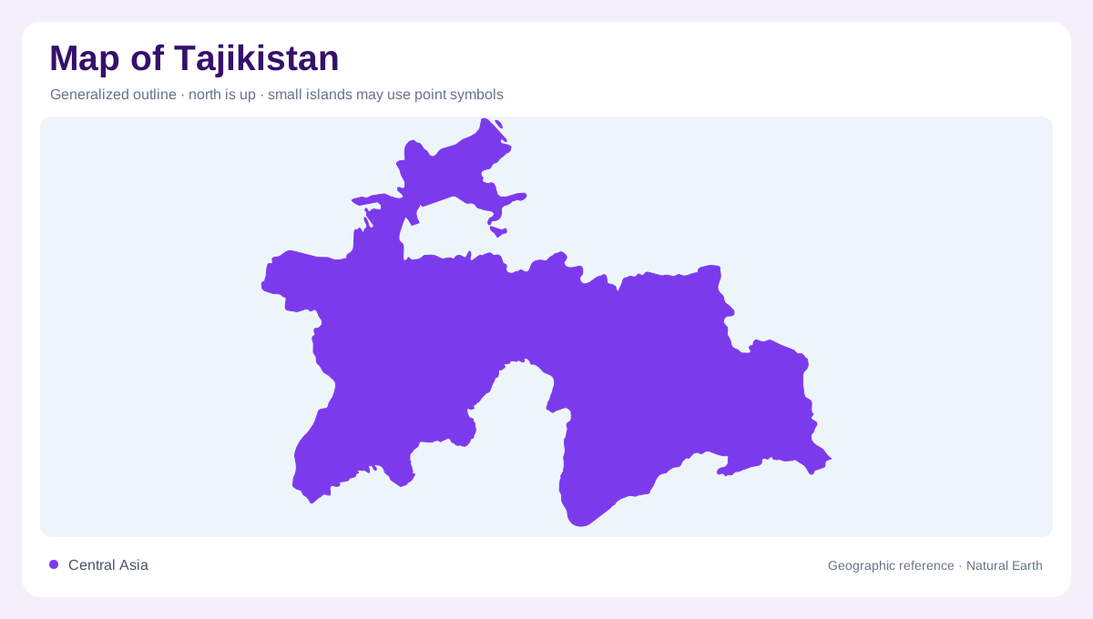
A mountain country
Tajikistan is a landlocked Central Asian country whose map is controlled by mountains more than by outline. Uzbekistan borders much of the west and northwest, Kyrgyzstan the north, China the east and Afghanistan the south across river valleys. FAO's AQUASTAT profile describes Tajikistan as mountainous and notes that much of the country stands above 3,000 meters. That means a simple road map can be misleading: places that look close may be divided by high ranges, winter closures, narrow gorges or valleys that open toward different neighbors.
Pamir and high east
The eastern map is dominated by the Pamirs, one of the highest mountain systems in Asia. Badakhshan is separated from western and central regions by major ranges, and the landscape contains high plateaus, glacier-fed streams and sparse settlements strung along valleys. Ismoil Somoni Peak rises to 7,495 meters, giving the national relief map a dramatic vertical range. In this part of Tajikistan, contours, passes and river courses are more useful than town density. The east should be read as high mountain terrain connected by a few crucial corridors.
Northern and central valleys
Northern Tajikistan includes part of the Fergana Valley, a major agricultural lowland shared with neighboring countries. Sughd is therefore geographically different from the Pamir east, with valley floors, canals and towns closer together. Central valleys around Dushanbe and the Gissar area form another set of inhabited corridors enclosed by mountains. The northern valleys belong partly to the Syr Darya system, whereas southern and western catchments descend toward the Amu Darya; mountain divides separate these two drainage networks. A good map must show these regions as separated compartments, not one continuous plain.
Panj, Vakhsh and Amu Darya
Water organizes Tajikistan's map. The Panj River follows much of the Afghan border and becomes a major headwater of the Amu Darya system. The Vakhsh, fed by high catchments, joins the Panj; the Kofarnihon and other rivers add further drainage from central ranges. FAO states that a large share of Amu Darya flow is generated in Tajikistan, so the country is upstream in regional water geography even though it is landlocked. Reservoirs, irrigation valleys and river gorges should therefore appear prominently beside the mountains.
Reading scale and access
Tajikistan's compact outline hides severe relief. Dushanbe, Khujand, Khorugh and Kulob are not simply dots on a flat network; they sit in different basins or corridors with mountain barriers between them. Borders often follow rivers or highlands, so crossings concentrate at limited points. The Zeravshan valley forms another corridor, set between mountain ranges and extending toward Uzbekistan, unlike eastern catchments that descend into the Panj. The safest geographic reading is structural: Pamir highlands in the east, Fergana edge in the north, western basins, and rivers descending toward the Amu Darya. Small inset maps can help here, because the country combines compact political width with routes that bend around ridges rather than crossing them directly. Showing the Rasht Valley, Zeravshan drainage and Gorno-Badakhshan separately prevents the Pamir east from swallowing the detailed lowland and foothill geography that supports most towns, farms and border crossings on regional maps used by readers comparing valleys.