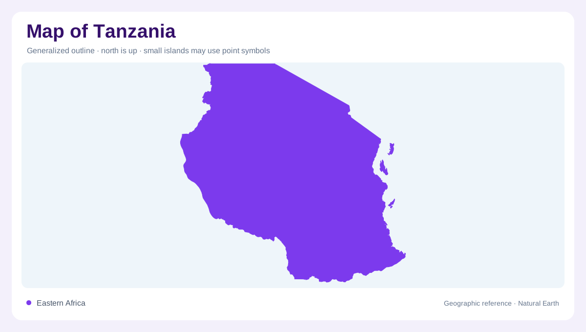
Mainland and islands
Tanzania occupies a large part of eastern Africa, with a mainland facing the Indian Ocean and the Zanzibar islands just offshore. FAO's AQUASTAT profile identifies the country's area and notes Unguja and Pemba as island components, so a complete map should not treat Tanzania as mainland only. Kenya and Uganda lie to the north, Rwanda, Burundi and the Democratic Republic of the Congo to the west, and Zambia, Malawi and Mozambique to the south. The coastline, islands and lake borders create several different edges rather than one simple perimeter.
Plateau and highlands
The broad central plateau gives Tanzania much of its inland shape. FAO describes plains along the coast, a central plateau, and highlands in the north and south. In the north, Mount Kilimanjaro and Mount Meru rise near the Kenyan border, making relief suddenly prominent beside surrounding plains. Farther south, the Southern Highlands create another elevated region, tied to routes toward Lake Nyasa and Zambia. Because highlands are separated by wider plateau and basin country, a physical map should show them as distinct blocks rather than one continuous mountain chain.
Great Lakes borders
Tanzania is framed by three major lakes that are easy to miss on a country-only outline. Lake Victoria touches the north, Lake Tanganyika forms a deep western boundary, and Lake Nyasa, also called Lake Malawi, marks much of the southwest. These lakes orient regions more clearly than straight borders: Mwanza belongs to the Victoria basin, Kigoma to Tanganyika, and Mbeya and the southern highlands look toward the Nyasa corridor. Lake shorelines also explain why some border areas are water crossings, fishing landscapes and basin edges rather than ordinary land frontiers.
Rivers, coast and dry interior
Tanzania's rivers drain in several directions, reflecting the plateau's position between lake basins and the ocean. The Rufiji system is central to the southeastern map, while the Pangani drains from northern highlands toward the coast. Interior basins and seasonal rivers make the central map different from the humid coast and lake margins. The Indian Ocean edge concentrates ports and lowland routes, especially around Dar es Salaam, but the coast quickly gives way to uplands and interior plains. This layered geography matters more than a single east-west distance line.
Settlement and protected landscapes
Dar es Salaam, Dodoma, Arusha, Mwanza, Mbeya and Zanzibar Town each mark different geographic settings: coast, interior plateau, northern highlands, lake basin, southern highlands and island coast. Tanzania's well-known protected landscapes, including Serengeti, Ngorongoro, Kilimanjaro and Selous or Nyerere areas, are also geographic anchors, but they should not crowd out ordinary rivers, escarpments and agricultural regions. A good map balances wildlife names with physical structure. The country is easiest to read as a meeting place of ocean coast, islands, central plateau, volcanic northern heights, southern highlands and Great Lakes margins. Scale also matters around Zanzibar, where Unguja and Pemba deserve labels separate from mainland Dar es Salaam, and around the lakes, where shorelines create long water borders rather than simple inland edges. Including rivers such as the Rufiji and Pangani keeps the eastern drainage visible beside better-known safari and mountain names on national maps.