A long state with a changing surface
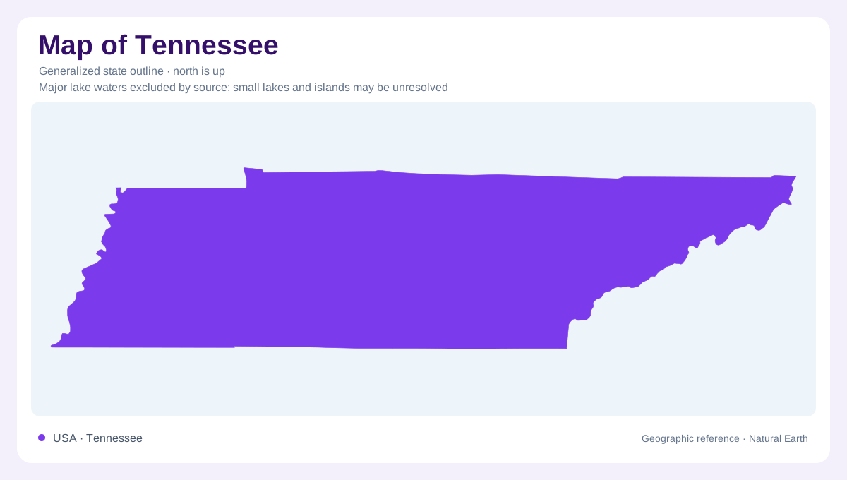
Tennessee stretches eastward from the Mississippi River into the southern Appalachians. Its elongated outline gathers landscapes that differ in rock, relief, and drainage, rather than enclosing one continuous valley. West, Middle, and East Tennessee are useful broad references, but physical regions provide a finer explanation. The Mississippi floodplain occupies the western edge; the Central Basin lies farther inland; the Cumberland Plateau and Blue Ridge introduce progressively different mountain settings. The outline here establishes the state's shape. Understanding the terrain requires imagining a cross section across that shape, with low river country, enclosed basins, escarpments, and mountain slopes occupying separate positions.
The Mississippi edge
Along the western border, the broad Mississippi Alluvial Plain contains an intricate landscape of channels, bars, oxbow lakes, and former river bends. Bluffs mark its eastern limit. A broad river corridor therefore includes both active water and land that records earlier channels. Reelfoot Lake occupies part of northwestern Tennessee in Lake and Obion counties; its origin is associated with the New Madrid earthquakes of 1811 and 1812. Cypress swamps and bottomland forests distinguish this setting from the uplands beyond the bluffs. Meeman-Shelby Forest illustrates how floodplain woods and adjacent bluff country can meet within a relatively compact western Tennessee landscape.
Limestone openings around the Central Basin
Middle Tennessee's Central Basin contains cedar glades where limestone lies exposed or beneath very shallow soil. These openings are geographically small but explain why a seemingly continuous green landscape contains sharply contrasting plant communities. Stones River Cedar Glade and Barrens in Rutherford County provides a concrete example of exposed limestone and thin soils. Nearby glades support plants adapted to these restricted conditions, including the Tennessee coneflower. The basin is not uniformly level: Radnor Lake occupies the Overton Hills south of Nashville, an outlying piece of the Western Highland Rim. Regional names describe prevailing landforms, while local relief can interrupt them.
Water cuts into the plateau
The Cumberland Plateau combines upland surfaces with deeply incised drainage. Resistant sandstone helps form cliff edges and waterfalls, so the word plateau should not suggest an uninterrupted tabletop. North Chickamauga Creek cuts a substantial gorge into Walden Ridge. Farther west, Savage Gulf dissects the plateau margin into branching ravines. Virgin Falls presents another relationship between surface and underground water: a stream emerges from a cave, drops over a cliff, and disappears into another cave below. These places explain why two points close together across a gorge can occupy very different terrain, and why contour detail matters more than straight distance.
Blue Ridge slopes and sheltered pockets
Eastern Tennessee reaches into the Blue Ridge, where mountain slopes contain sheltered coves and distinctive wetland pockets. Hampton Creek Cove lies near Roan Mountain in Carter County, while Roundtop Mountain forms part of the northwestern boundary of Great Smoky Mountains National Park. In Polk County, the Copper Basin contains a rare Southern Appalachian bog community at the William L. Davenport Refuge. These examples resist a simple equation of mountains with dry ridges. Elevation, slope position, and retained water produce different environments within the same mountain region. Tennessee's geography becomes clearer when these smaller settings are placed inside its long outline.