Plains that continue beyond the Panhandle
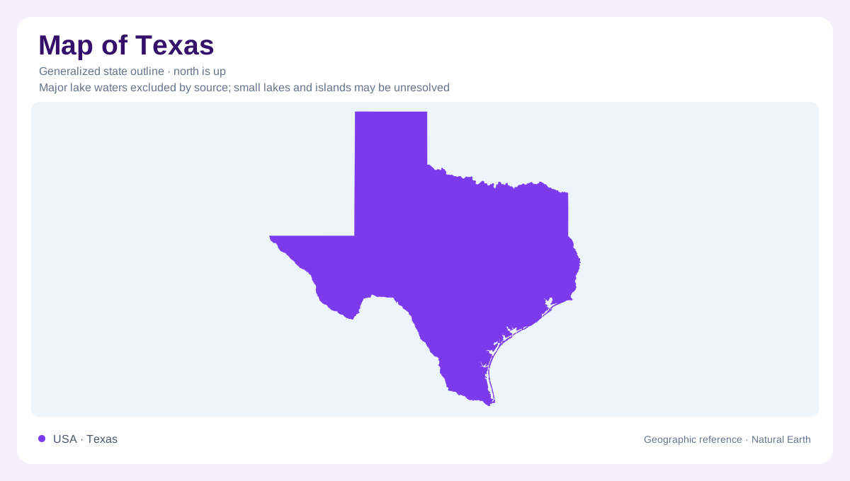
Texas extends from the southern Great Plains to a broad coast and from eastern forests into western desert mountains. Its Panhandle is an administrative projection across plains that continue into Oklahoma and New Mexico. The Pecos and Staked Plains contain extensive dry grassland, while the Rolling Red Plains farther east have gently varying relief and a different mixture of prairie and shrubs. Local depressions hold temporary playa wetlands, adding small water collecting basins to the open landscape. The state's angular northern outline consequently cuts across continuous physical country. It does not mark a sudden change in the plains themselves.
Mountains beyond the Pecos
The Trans-Pecos region brings mountain and desert habitats together in far western Texas. Its vegetation reflects both elevation and connections with neighboring regions: plains influence the northeast, the Edwards Plateau reaches into parts of the east, and South Texas affinities appear toward the southeast. Desert grasslands and shrublands are not interchangeable labels for an unchanging surface. Grazing history, fire, and drought have altered their distribution, while cooler, wetter high ground can retain different communities from lower basins. Reading this region requires separating mountain slopes, upland grasslands, and desert floors instead of treating the entire western projection as uniformly barren country.
Hill Country as a transition
The Hill Country occupies a central transition where grasslands, oak communities, and juniper woodland reflect both physical conditions and land use. Its rainfall varies substantially between years, so a simple average can conceal very different growing conditions. Steep draws and canyons have long supported Ashe juniper, which has also spread onto uplands. Changes in grazing pressure and fire have helped reshape the balance between grass and woody vegetation. The modern appearance of a hillside therefore does not reveal geology alone. Hill Country geography combines relief, climate variability, and ecological history, with neighboring slopes sometimes presenting markedly different cover and texture.
Upland pines and river bottom hardwoods
East Texas's Pineywoods belong to a different physical and ecological setting. Historical forest patterns distinguished pine dominated uplands from hardwood bottomlands along rivers and associated drainages. Shortleaf, longleaf, and loblolly pine occupied overlapping but geographically different areas. The Trinity, Sabine, Neches, and other river systems supplied corridors of richer bottomland soil and wetter conditions. Logging, cultivation, reservoirs, and replanting have substantially changed that older forest mosaic. A modern wooded patch should therefore not automatically be read as surviving original forest. The enduring geographic contrast is between uplands and lower drainage positions, even where management has changed the trees growing on them.
A coast assembled from moving sediment
Padre Island illustrates the Texas coast's mobile character. Sand carried by waves, currents, and wind builds beaches and dunes, while storms can breach or rearrange the barrier. Laguna Madre lies on its landward side, receiving windblown beach sand and occasional storm overwash. Vegetation traps sand along the back of the beach, helping form dune ridges, but that stabilization does not make the shoreline permanent. The coastal edge is consequently different from the straight surveyed boundaries around the Panhandle. Across Texas, plains, mountains, forests, and barriers require distinct explanations; their positions inside one outline connect environments without making them physically alike.