A divided national outline
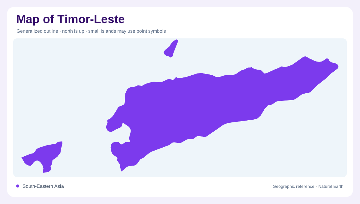
Timor-Leste is not a single neat block on a map. Its main territory occupies the eastern part of Timor island, while Oecusse is a separate coastal exclave in the island's northwest, surrounded by Indonesian territory on land. Atauro lies north of Dili, and Jaco sits near the eastern tip. Any complete map needs all these pieces. The Savu Sea, Banda Sea and Timor Sea frame the country differently, so the north coast, south coast, offshore islands and exclave should be read as related but geographically distinct components. Inset placement is not cosmetic here, because Oecusse can disappear if the map is cropped tightly around the eastern mainland, and Atauro can be mistaken for a minor coastal label. Showing nearby Indonesian West Timor and surrounding seas gives the separated pieces enough context while keeping the article neutral about borders and focused on physical geography. This also helps readers see why Dili is not central to every district geographically.
Central mountain backbone
FAO's AQUASTAT profile describes Timor-Leste as having narrow coastal plains and a central mountain range dominating the country. That backbone explains the compressed map: ridges run close to both coasts, leaving limited lowland space for roads, towns and fields. Dili sits on the north coast below steep terrain, while interior places such as Aileu and Maubisse occupy higher ground. Mount Ramelau is the best-known high point. On a map, elevation should be prominent because short horizontal distances often cross sharp slopes and different rainfall zones.
Rivers and rainfall contrasts
Timor-Leste's rivers are generally short and fast-flowing, according to FAO, with twenty-nine main river systems divided between north and south. Rainfall varies strongly by coast and elevation: the north can be dry for long periods, while southern slopes keep wetter conditions later into the year. The Loes is the largest river system, and Laclo, Clere and Belulic are also important map names. Because uplands have limited water-storage capacity, many riverbeds change character seasonally, so drainage should be read with climate and relief together.
Plateaus, lake and borders
The eastern end of the country includes the Fuiloro Plateau and Lake Ira Lalaru, a shallow seasonal freshwater lake in limestone country. FAO notes that the lake's extent changes with season, which matters for interpreting maps that may show different water outlines. Oecusse also requires care because it is geographically separated from the main eastern territory; border lines alone do not convey that travel between components crosses Indonesian surroundings or sea space. Timor-Leste's land border and shared basins should therefore be mapped with enough context around them.
Settlements on constrained ground
Dili, Baucau, Maliana, Suai, Pante Macassar and Viqueque sit in different coastal or valley settings rather than in a uniform grid. North-coast settlements often squeeze between sea and mountains, while southern towns relate to broader wet-season drainage and coastal plains. Atauro and Jaco should be marked as islands, not decorative specks. A useful map of Timor-Leste emphasizes separation, relief and water: eastern Timor mainland, Oecusse exclave, offshore islands, central mountains, seasonal rivers and narrow coastal corridors. That structure explains more than a simple list of towns ever could.