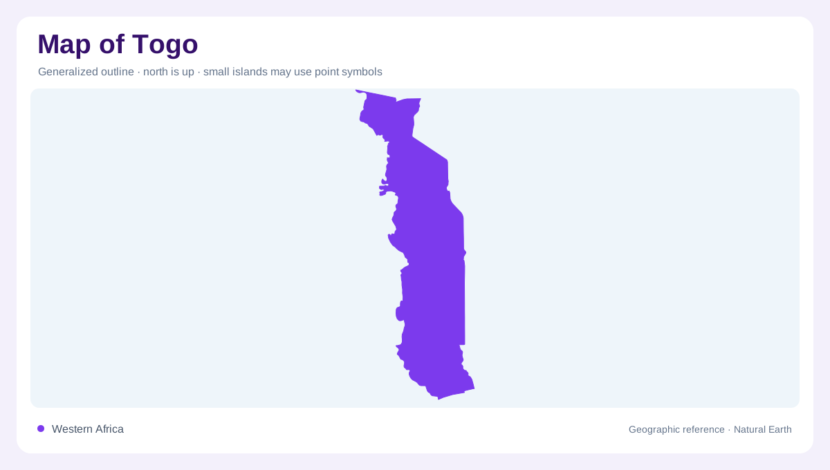
A narrow north-south country
Togo is one of West Africa's narrowest countries, running north from a short Gulf of Guinea coast between Ghana and Benin, with Burkina Faso at the northern end. That slender shape makes north-south distance more important than east-west width. Lome sits on the coast near the Ghana border, while Kara, Sokode and Dapaong mark inland regions farther north. A national map should preserve this vertical orientation because compressing the country into a small rectangle can hide the strong transition from humid coast to plateau, mountain and savanna landscapes.
Relief bands and regions
FAO's AQUASTAT profile describes Togo as having diverse relief, including coastline, plains, plateaus, mountains and valleys. The Maritime Region begins with lagoon and coastal lowland geography, while Plateaux Region rises inland with hills and forested areas. Central and Kara regions continue the upland pattern, and the Savanes Region opens toward drier northern plains. The Togo Mountains, part of the Atakora chain, cross the country diagonally and give the narrow map a spine. These relief bands are essential; without them, Togo looks simpler than it is.
Three drainage basins
Water divides Togo into useful map units. FAO identifies the Volta basin, draining rivers such as the Oti, Kara and Mo into the Volta system; the Mono basin, with rivers including the Mono, Anie and Amou flowing southward; and the Lake Togo basin, which includes the Zio and Haho. Those basins explain why rivers do not all run in one national direction. The Mono also forms an important southeastern border feature with Benin before reaching the coastal lowlands near the Gulf of Guinea.
Climate and land cover gradient
Togo's climate changes along its length. The FAO profile notes a southern subequatorial pattern with two rainy seasons and a northern Sudanian pattern with one rainy season. Vegetation shifts with that gradient, from coastal and forest-influenced zones toward savanna. Southern lagoons contrast with the Oti's broad northern floodplain corridor. A good map should make room for ecological transition, showing why the south around Lome, Lake Togo and the lower Mono differs from northern landscapes around Mango and Dapaong. Latitude, rainfall and relief all interact in a very narrow space.
Settlements and border reading
Because Togo is slim, many places sit close to an international border even when they are far apart north to south. Lome is almost coastal-border urbanism, Kpalime relates to uplands near Ghana, Sokode occupies a central route position, and Kara opens toward northern highlands and plains. Roads often follow the country's length, but the river basins cross and complicate that simple line. For map reading, Togo rewards attention to scale: a short coast, a long inland reach, diagonal mountains, and drainage systems that connect the country to wider West African basins. Small-scale maps should also avoid exaggerating the coast, because the shoreline is short compared with the inland length. Showing Lake Togo, the Mono border, the Oti in the north and the mountain chain together gives readers a more accurate structure than a simple capital-to-hinterland line. Southern coastal lagoons, upland forests and northern savannas occupy distinct positions along Togo's elongated outline between three neighboring countries.