Three atolls in open ocean
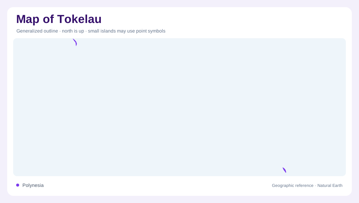
Tokelau appears on a map as three small atolls spread across open South Pacific water, not as a compact island. Atafu sits farthest north, Nukunonu lies southeast of it, and Fakaofo anchors the southern end of the territory. Their positions between roughly eight and ten degrees south and around 172 degrees west place them well north of Samoa and far from large landmasses. A reader should zoom out first to see the ocean spacing, then zoom in to follow each reef rim, lagoon, motu, and village area separately. Tiny land areas make scale bars especially important here on every map.
Low coral rims
Each atoll is a low coral structure wrapped around lagoon water, so elevation and coastline matter more than road distance. Narrow islets form discontinuous rings where settlement, coconut land, boat passages, and reef flats occupy very limited ground. The government geography page identifies Atafu, Nukunonu, and Fakaofo as Tokelau's three atolls and gives their total land area as only about 10.8 square kilometers. That small figure explains why even minor shoreline curves look important when enlarged. Maps should avoid suggesting continuous terrain between islets, because the usable land is broken, thin, very fragile, and separated by lagoon and ocean water.
Water without rivers
Tokelau has no ports or harbours, a fact that changes how its geography should be read. The coast is not a sequence of commercial waterfronts, but reef-edge landing places exposed to ocean conditions. Villages occupy parts of the atoll rims rather than inland valleys or river mouths, because there are no rivers and no high interior. Rainfall, groundwater lenses, and stored water are therefore more meaningful than catchment basins during droughts. On a physical map, the absence of streams is not missing detail; it reflects the atolls' porous coral land, short drainage paths, and dependence on small, delicate freshwater reserves.
Swains and Olohega
Swains Island, or Olohega, requires careful map interpretation. Tokelau's official geography page describes it as culturally, historically, and geographically part of the Tokelau chain, while also stating that it is under United States control and administered with American Samoa. A neutral article should therefore show Tokelau's administered atolls without folding Swains into the territory's political outline. At regional scale, however, Olohega helps explain the wider cultural geography of the chain. The safest map reading separates current administration from historical connection and avoids treating either as a simple boundary label alone. It also prevents cultural geography from being confused with administration.
Reading the scale
Because Tokelau is so small, a useful map should be read in layers. The regional view explains isolation between Hawaii, New Zealand, and Samoa; the territory view shows the three-atoll spread; the local view reveals reef passages, settlement strips, lagoon edges, and ocean-facing shores. Labels can easily overwhelm the land, so relative placement often communicates more than dense annotation. The official atoll coordinates are helpful anchors, but they do not convey daily scale by themselves. The main geographic lesson is that Tokelau is a chain of low reef communities whose map is mostly water, exposure, and separation at every zoom.