A north-south kingdom
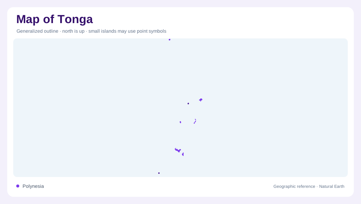
Tonga stretches north to south across the western South Pacific, so its map is best read as an island chain rather than a single island country. Tongatapu and nearby 'Eua form the southern focus around Nuku'alofa, Ha'apai occupies the middle waters, Vava'u makes a more intricate northern cluster, and the Niuas sit farther away toward Samoa. This long alignment means distance between groups matters as much as local coastline. A small-scale map can hide how separated the inhabited clusters are. Zooming between the groups helps readers understand administration, weather exposure, reefs, and travel routes as geographic relationships on overview maps.
Coral and volcanic forms
The kingdom combines raised coral islands, low reef islands, and volcanic landforms. Tongatapu is broad and low, with lagoon and reef margins shaping the south's settlement pattern. 'Eua, nearby but geologically different, rises more steeply and gives the southern group a sharper terrain contrast. Ha'apai includes many low islands scattered over shallow seas, while Vava'u is known on maps for indented shorelines, sheltered waters, and multiple islands close together. Farther north, Niuatoputapu and Niuafo'ou are isolated enough that they should never be visually treated as minor suburbs of the central groups. This variety prevents one profile from explaining the kingdom.
Coasts, caves and channels
Tonga's shores contain features that an island outline alone cannot convey. On Tongatapu, the Mapu 'a Vaea blowholes occupy the southwestern coral coast, while Hufangalupe forms a natural bridge on the southeastern side. These are coastal rock formations, distinct from the harbor setting of Nuku'alofa. Across the water, 'Eua combines hills and rainforest with cliffs, caves and sinkholes. Its rocky southern shoreline contrasts with small coves on the western side. Vava'u has another coastal pattern: the Ava Pulepulekai channel penetrates an intricate island group. Here, water corridors and sheltered indentations are as important to orientation as the land between them.
Northern groups and settlement anchors
Nuku'alofa on Tongatapu is the principal urban reference point, but Neiafu locates a separate center in Vava'u. Ha'apai's Lifuka provides an intermediate anchor between these southern and northern concentrations. Beyond Vava'u, Niuafo'ou and Niuatoputapu belong to the more remote Niuas, where volcanic landscapes contrast with the low reef platforms elsewhere in Tonga. Group labels therefore describe more than subdivisions: they connect different coast types, elevations and degrees of separation. A detailed Tongatapu panel cannot explain Vava'u's channels or 'Eua's cliffs. Each group needs enough geographic context to distinguish open ocean gaps from the much narrower waters separating neighboring islands locally.
Regional Pacific frame
At regional scale, Tonga sits east of Fiji, south of Samoa, and near the Tonga Trench, one of the Pacific's defining deep-ocean features. That setting explains the chain's volcanic and coral contrasts without requiring every island to share the same origin. Maps using shaded relief can show why some islands read as flat platforms and others as rugged high points. For navigation-style interpretation, distances between groups, reef outlines, and sheltered anchorages matter more than straight-line size. Tonga's geography is a vertical thread of islands, seas, and reefs, with each group needing its own frame. This reading keeps the archipelago coherent.