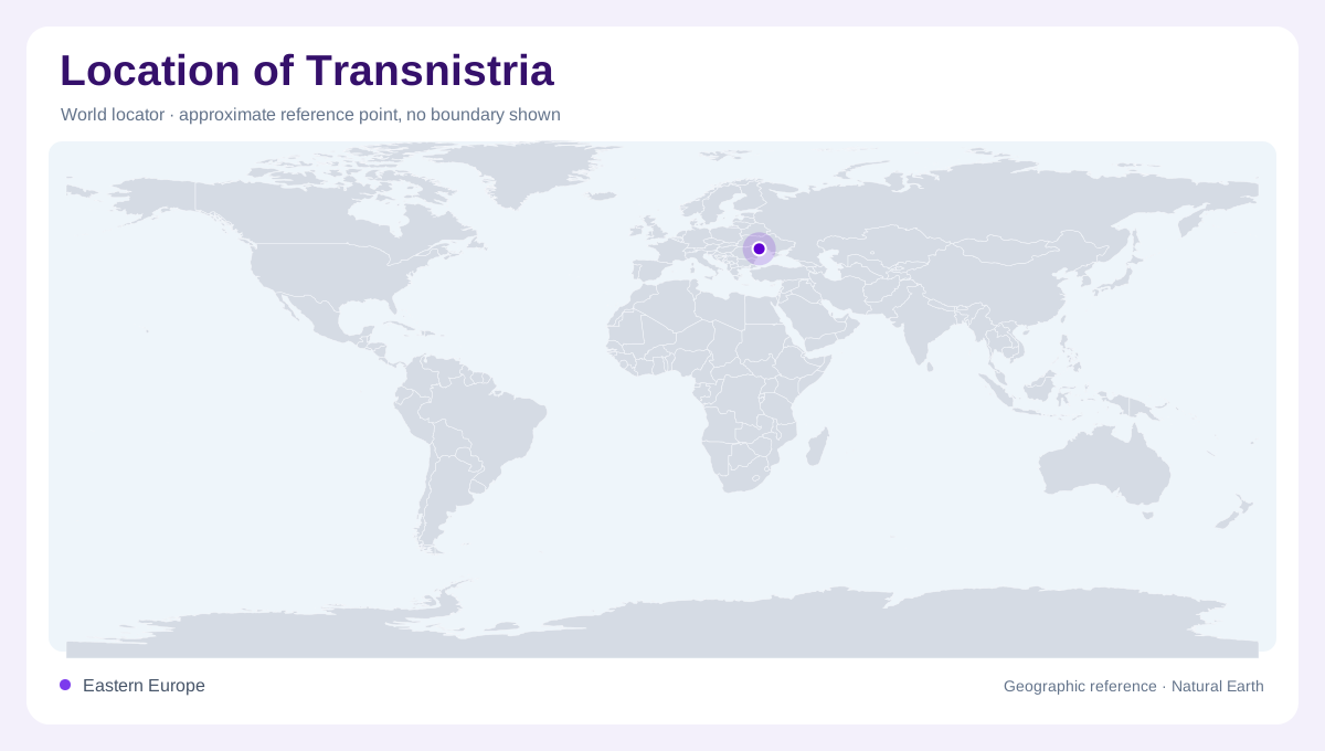
A narrow river corridor
Transnistria is best read as a narrow corridor associated with the left bank of the Nistru, or Dniester, in eastern Moldova, with some important settlement geography also tied to Bendery on the opposite bank. It is included here as a separately administered disputed area, not as a statement about recognition. The shape is long and slim, following river lowlands between Moldova's main interior and Ukraine. On a map, this produces a boundary impression that can look more like a riverine strip than a compact state. Scale and labeling should therefore stay neutral and precise. This is a geographic treatment, not diplomatic shorthand.
The Dniester spine
The Dniester is the organizing feature. FAO's Moldova profile describes the Nistru basin as covering about 57 percent of Moldova and notes that the river forms border sections before continuing toward the Black Sea. For Transnistria, that means settlement, roads, industry, and farmland are read against a north-south river axis. Tiraspol and Ribnita sit along this corridor, while Dubasari is linked to a reservoir reach. The river is not merely a boundary line; it is the main geographic spine connecting towns, terraces, floodplain edges, bridges, and nearby agricultural land. Those river relationships are more stable than political slogans.
Low relief and fields
Relief across the area is modest compared with the Carpathians far to the west. Moldova's wider landscape is described by FAO as mostly low, with much of the country below 200 meters, and Transnistria shares that lowland and upland-edge character. Maps should look for gentle slopes, cultivated plateaus, river terraces, and valley settlements rather than dramatic mountains. The local contrast comes from the Dniester valley, tributary ravines, reservoirs, and the shift from built-up river towns to field patterns. Elevation shading can be subtle but still useful for locating crossings and floodplain margins. That texture matters when comparing the strip with hillier Moldova.
Neutral status reading
Political maps of Transnistria need careful language. The OSCE Mission to Moldova describes its work as supporting a settlement based on Moldova's sovereignty and territorial integrity with a special status for Transdniestria. That source is useful because it shows why neutral geographic wording matters. A map reader should separate observed control and local administration from international legal status. Borders, checkpoints, or labels on any single map are not proof of sovereignty. The article therefore treats the area as a geographic unit for orientation while keeping recognition claims outside the map description. It avoids implying that cartographic visibility settles the dispute.
Reading towns and crossings
The most useful way to read Transnistria is from river scale down to town scale. First locate the Dniester between Ukraine and the Moldovan interior. Then follow the chain of northern, central, and southern settlements, noting where bridges and reservoirs interrupt the valley pattern. Finally, examine Bendery and Tiraspol together, because their proximity across the river creates a larger urban geography than either label suggests alone. Agricultural fields, industrial sites, rail alignments, and river bends explain much of the territory's map. Its geography is linear, low, and politically sensitive. This approach keeps physical orientation clear without endorsing claims.