Between sea and desert
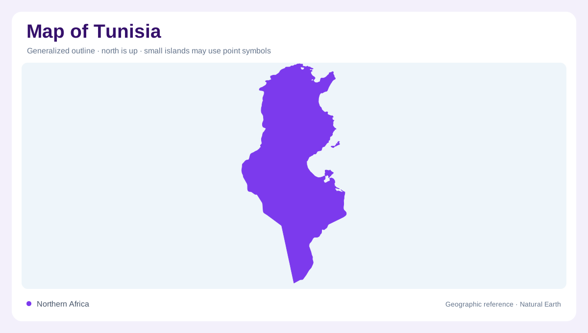
Tunisia occupies the central north coast of Africa, where Mediterranean shorelines, Atlas uplands, steppe, chotts, and Sahara margins meet within a relatively compact country. FAO's country profile places it between Algeria and Libya and records about 1,300 kilometers of Mediterranean coast. That coastline is not a simple edge: it includes northern capes, the Gulf of Tunis, the Sahel coast, the Gulf of Gabes, and island settings such as Djerba. A map reader should begin with the north-south environmental gradient, because Tunisia changes quickly from wetter mountains and coastal plains to arid southern basins. This gradient is the country's central map story.
The northern highlands
Northern Tunisia contains the most rugged and watered terrain. The Tell Atlas and related ranges enter from Algeria, with higher ground, forested zones, and river valleys that contrast with the plains farther east. The Medjerda basin is especially important because it links inland valleys with the Gulf of Tunis and supports a dense settlement corridor. Tunis sits near a coastal lake and gulf, not deep in the interior. Bizerte, Cap Bon, and the northern coast create a strongly maritime map pattern. In this part of Tunisia, relief, rainfall, and ports belong in the same geographic conversation. That pairing makes northern Tunisia visually dense.
Steppe and Sahel
Central Tunisia opens into steppe and broad plains, where the map becomes less mountainous and more transitional. Kairouan sits inland from the Sahel coast, while Sousse, Monastir, Mahdia, and Sfax line important coastal zones. The Sahel is not desert in the strict sense; it is a populated, cultivated coastal belt that should be distinguished from the Sahara farther south. Roads and settlements often follow plains, coastal margins, and older oasis or market routes. Reading this middle belt correctly prevents the country from being reduced to either Mediterranean resort coast or empty desert interior. The middle belt deserves its own labels.
Chotts and southern basins
Southern Tunisia is organized by aridity, chotts, oases, and desert approaches. FAO's profile identifies desert plains as the northern limit of the Sahara and names Chott El Jerid as the largest chott in that plain. On maps, these salt flats can look like lakes, but their seasonal and saline character is different from ordinary freshwater bodies. Tozeur, Kebili, Gabes, and Tataouine help anchor the southern geography. The Gulf of Gabes, Djerba, Matmata hills, and Saharan routes create a mixed landscape where coast, salt basin, escarpment, and oasis each need separate attention. This distinction is crucial for interpreting southern water features.
Layered map reading
Tunisia's shape rewards layered map reading. At continental scale it is a small Maghreb country projecting toward Sicily; at national scale it divides into humid north, coastal east, steppe center, and desert south; at local scale, gulfs, chotts, capes, and oases control orientation. FAO's water fact sheet records low average precipitation compared with wetter countries, reinforcing why river basins, dams, groundwater, and irrigated pockets matter. The best map of Tunisia avoids one-note desert imagery and instead shows a country where Mediterranean and Saharan geographies interlock over short distances. That variety is the country's main mapping challenge.