Europe and Asia meet
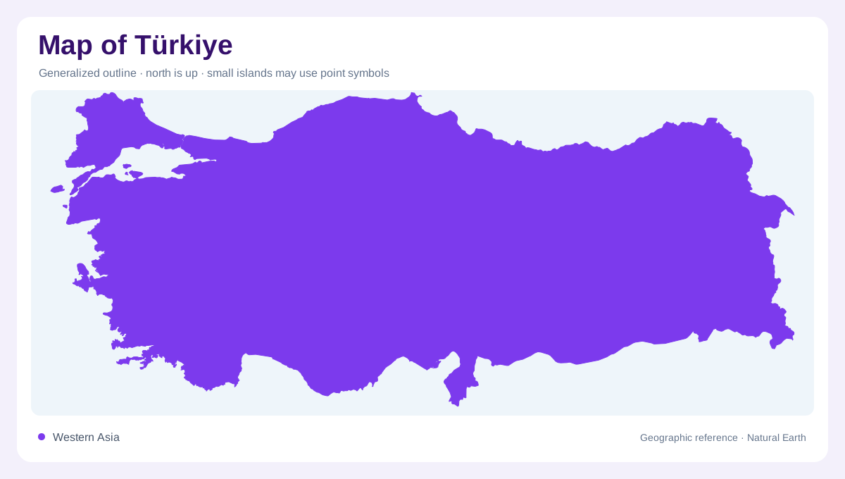
Türkiye's map joins southeastern Europe and western Asia, with Thrace west of the Bosporus and Anatolia forming the much larger Asian peninsula. FAO's country profile notes that only a small share of land lies in Europe, while the rest lies in Asia, and records coastlines on the Black Sea, Aegean, and Mediterranean. The straits are therefore central geographic features, not merely city scenery. Istanbul sits at the Bosporus, where water, continents, and urban growth meet. Any national map should keep that bridge position visible before moving into the varied interior plateaus and mountains. That crossing makes scale and orientation unusually important.
Plateaus and mountain rims
Anatolia is not flat. The interior is a high plateau framed by mountain systems, including the Pontic Mountains near the Black Sea and the Taurus Mountains above the Mediterranean. Central Anatolia contains broad basins, salt lakes, steppe, and cities such as Ankara, Konya, and Kayseri. Western Anatolia opens through river valleys toward the Aegean, where Izmir and other coastal cities face islands and gulfs. Eastern Anatolia rises higher and becomes more rugged, with volcanic and mountainous terrain. Relief shading is essential because straight-line distances hide how strongly elevation shapes movement and settlement. These contrasts make regional inset maps especially useful.
River basins and wetlands
Türkiye's water geography is divided among seas and river basins. FAO's profile lists major hydrological basins and identifies the Euphrates and Tigris as important systems flowing toward Syria, Iraq, and the Persian Gulf. Other rivers drain north to the Black Sea, west toward the Aegean, or south to the Mediterranean. Lakes and wetlands, including the Kizilirmak Delta and central basins, add another layer. A useful map should not show rivers as decorative blue lines; they explain irrigation zones, mountain snowmelt connections, lowland corridors, deltas, and international downstream relationships. This network gives the southeast particular downstream importance.
Different coasts
Coastal Türkiye changes character from sea to sea. The Black Sea coast is narrow and backed by mountains, encouraging linear settlement and short river valleys. The Aegean coast is deeply indented, with peninsulas, bays, and offshore islands creating a broken maritime edge. The Mediterranean coast includes the Antalya and Cilician plains, where mountains stand close behind coastal lowlands. Around the Sea of Marmara, urban and industrial geography concentrates near straits and sheltered water. These coastlines should be read separately, because a single coastal symbol cannot explain their different shapes, climates, and access patterns. Their differences matter for climate and transport reading.
Thresholds on one map
A national map of Türkiye works best when read through thresholds: Europe to Asia at the straits, coast to plateau across mountain rims, plateau to highlands in the east, and domestic basins to transboundary rivers in the southeast. The country is large enough that regional labels matter, but compact enough that one projection can show its strategic geometry. Avoid treating it only as a crossroads; the physical geography is substantive in its own right. Mountains, basins, seas, wetlands, and river headwaters together explain why the map is so varied over a single state. That regional complexity is factual, not merely strategic branding.