Desert-dominated setting
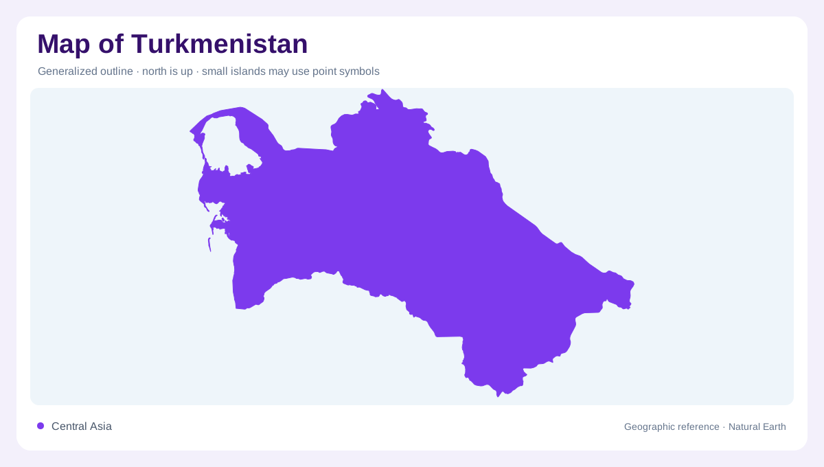
Turkmenistan is a Central Asian country whose map is dominated by desert, long borders, and a western Caspian Sea edge. FAO's country profile places it between the Caspian, Kazakhstan, Uzbekistan, Afghanistan, and Iran, with Ashgabat identified as the capital. The country is not centered on one large river valley; instead, settlements and irrigated areas appear as corridors and oases around very dry interior space. The Karakum Desert occupies much of the map, so empty-looking areas are not blank. They are the main physical setting against which roads, canals, towns, and borders make sense. Desert scale is the first basic cartographic fact.
Mountains and Caspian margin
The Kopet Dag along the Iranian border gives the south a sharper relief line than the central desert. Ashgabat sits near this mountain front, where piedmont land meets arid plains. To the west, the land descends toward the Caspian Sea and the Balkan region, including coastal and lowland features around Turkmenbashi. To the north and center, the Karakum spreads as sand, gravel, and low desert terrain. Elevation maps should therefore emphasize the southern mountain edge, the western Caspian margin, and the broad interior plain rather than searching for evenly distributed relief. That uneven relief frames the national map.
Water defines corridors
Water geography is the key to reading Turkmenistan. FAO's water tables show heavy dependence on external renewable water resources and identify the Amu Darya basin as the dominant source, reaching the eastern desert. The Karakum Canal carries water across the desert toward southern and western settlement zones, making a human-made line as geographically important as many natural rivers. Smaller systems such as the Murghab, Tedzhen, and Atrek matter locally but do not erase the national aridity. A map that shows water channels and irrigated land explains settlement far better than a road map alone. This is why canals deserve very prominent labels.
Oases and separated cities
Cities form a pattern around margins and water-supported corridors. Ashgabat lies near the Kopet Dag; Mary sits in the Murghab oasis; Turkmenabat is close to the Amu Darya; Dashoguz anchors the north; and Turkmenbashi faces the Caspian. These points are widely separated, so the spaces between them are a major part of the geography. Agricultural zones depend on irrigation, while desert reserves and sparsely settled areas occupy broad interiors. Reading the map as a chain of oases and corridors prevents the mistaken impression that the country is evenly inhabited or uniformly accessible. Distance itself becomes a visible geographic feature.
Regional water dependence
At regional scale, Turkmenistan links the Caspian basin, Central Asian deserts, and river systems descending from mountains beyond its borders. That setting explains both its dry interior and its reliance on transboundary water. Political borders cut across desert and river approaches, but the physical map shows older geographic logic: mountain fronts, endorheic basins, canal routes, and oasis margins. The most useful interpretation starts with aridity, then follows water, then places cities along that framework. Turkmenistan's map is therefore less about dense networks and more about scarcity, distance, and carefully sustained corridors. That pattern is the country's enduring core map logic.