Nine pieces of land
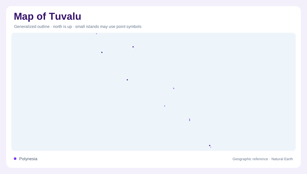
Tuvalu consists of nine coral islands and atolls dispersed across the Pacific. The land is tiny compared with the sea between its components, so a national outline cannot resemble the perimeter of a mainland country. Nanumea and Nanumaga occupy the northwestern part of the chain; Niutao and Nui provide northern references farther along it. Vaitupu, Nukufetau and Funafuti occupy the central and southern sequence, followed by Nukulaelae and Niulakita toward the southern end. These names represent separate pieces of geography, not districts on a single island. Their relative positions explain why an overview must establish ocean spacing before shoreline detail.
Funafuti's lagoon and reef
Funafuti provides the clearest detailed example of Tuvalu's atoll geography. Reef and narrow islets surround a central lagoon, with passages interrupting the rim. NASA's account identifies seven main entrances through which the lagoon connects with the ocean. The distinction between lagoon water and open Pacific water is therefore fundamental: both appear blue, but their enclosure and exposure differ. The conservation area occupies reefs and islets on the western side, opposite the eastern concentration of settlement. At this scale, a thin strip of land can divide very different marine environments, and a gap in the reef becomes a major geographic feature.
Low relief, limited hinterland
Tuvalu's mean elevation is about two meters above sea level, according to NASA. This is a country where broad mountain shading conveys little, while small changes in surface height matter greatly. The sea remains close to settlements, vegetation and infrastructure because there is no extensive inland hinterland behind the coasts. FAO's country sheet records land area in only a few thousand hectares, reinforcing that physical constraint. Reef islands and lagoon atolls nevertheless have different outlines; low elevation does not make them identical. Compact land surfaces, broken reef rims and enclosed water create distinct local patterns within the same national chain.
A deep geological record
Funafuti also preserves an important connection between visible landforms and buried geology. During expeditions in the late nineteenth century, researchers drilled more than three hundred meters into carbonate rock while investigating how coral atolls develop. They did not reach volcanic material. NASA relates this work to debates about reef growth, subsidence and changing sea levels. The narrow land visible today is thus only the exposed surface of a much deeper structure. A reef map records contemporary form; it does not by itself establish every stage of island formation. Funafuti's geological significance reaches below the lagoon and beyond its shoreline.
Ocean exposure and scale
Tuvalu lies north of Fiji and south of the Gilbert Islands, within an ocean region where distances between island groups dwarf local land dimensions. Enlarging each island helps reveal its shape, but equal panel sizes can conceal differences in area and separation. The regional view and local reef outline answer different questions. NASA's discussion of flooding emphasizes the interaction of sea level, tides, waves and storms, rather than elevation alone. On these coasts, the boundary between land and water is physically active. Reading Tuvalu therefore requires both the dispersed national chain and the individual margins where reef, lagoon and settlement meet.