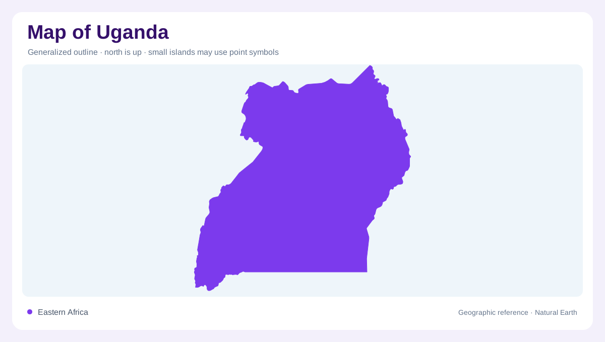
Landlocked but water-rich
Uganda is landlocked in eastern Africa, but water is still one of its defining map features. FAO's country profile places it on the equator and describes borders with South Sudan, Kenya, Tanzania, Rwanda, and the Democratic Republic of the Congo. Lake Victoria forms a major southern anchor, while Lake Albert and Lake Edward mark western rift geography. Lake Kyoga spreads through the center, linked to the Nile system. A reader should avoid imagining Uganda as a dry inland block; its map is organized by lakes, river corridors, plateaus, mountain edges, and cross-border basins. This water pattern anchors orientation.
Central plateau and Victoria
Most of Uganda sits on an interior plateau, with broad open plains in the north and flatter hills across central, western, and eastern districts. FAO gives an average altitude around 1,200 meters, which explains the country's moderated equatorial climate and the importance of highland edges. Kampala lies near Lake Victoria, not at the country's geometric center, and Jinja marks the lake outlet into the Victoria Nile. Central maps should show how roads and towns relate to Lake Victoria, Lake Kyoga, and the plateau surface. Relief may look gentle, but it shapes rainfall, farming zones, and movement. That context clarifies the central corridor.
Western rift country
The western border is far more rugged. The Rwenzori Mountains rise near the Democratic Republic of the Congo, with Mount Stanley identified by FAO as reaching 5,109 meters. The Mufumbira volcanoes and the Lake Edward-Lake George system add rift complexity in the southwest. North of them, Lake Albert and the Albert Nile create a long boundary-linked water corridor. These features make western Uganda one of the country's most varied map regions. A physical map should therefore combine mountain shading, rift lakes, protected landscapes, and river exits rather than presenting the west as a simple border line. Here, elevation and water converge.
Eastern and northern contrasts
Eastern Uganda has its own highland structure. Mount Elgon rises on the Kenya border, while Moroto, Morungole, Timu, and Kadam mark northeastern uplands named in FAO's profile. The northeast grades toward drier pastoral landscapes, distinct from the wetter Lake Victoria crescent. Rainfall varies strongly: FAO describes lower totals in the Karamojong pastoral areas and higher totals near Lake Victoria, Mount Elgon, the Rwenzori, and other highlands. On thematic maps, those differences explain crop zones, grazing areas, and settlement density better than administrative boundaries alone. Uganda's regional diversity is visible through climate as well as relief. This makes regional comparison more honest.
Following the Nile chain
The Nile system ties Uganda's map together. FAO explains that Lake Victoria's outlet at Jinja flows through the Victoria Nile into Lake Kyoga and then toward Lake Albert, from which the Albert Nile continues northward. That route turns the country into a key upper-Nile landscape without reducing it to one river. Local catchments, wetlands, and lakes still matter at district scale. The best map reading begins with the southern lake, follows the Nile chain through the center and west, then adds mountains and drier northern plains. Uganda's geography is a connected water-and-plateau system. That sequence keeps scale clear.