Broad country between uplands and sea
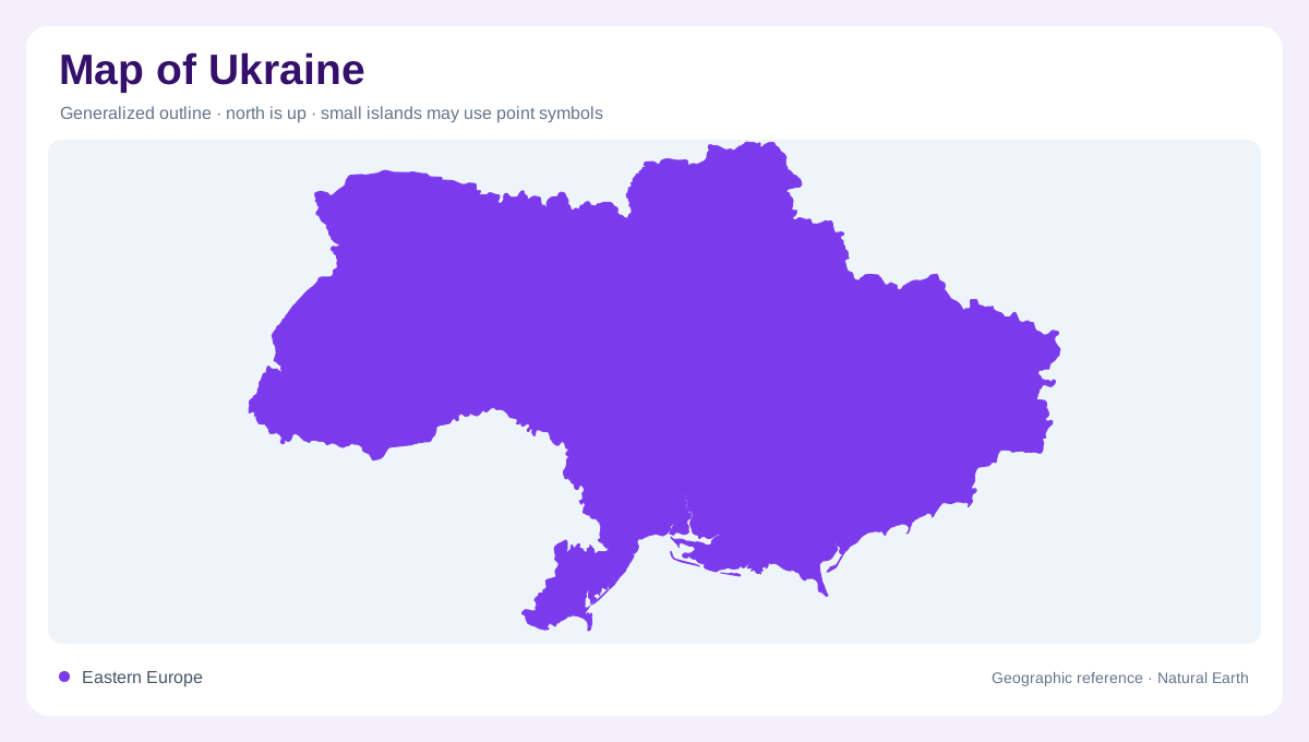
Ukraine occupies a large position in eastern Europe, where a mostly lowland interior opens southward to the Black Sea and the Sea of Azov. On a map, its outline should be read as more than a compact block: the Crimea peninsula projects into southern waters, while the western edge approaches the Carpathians. The country's middle is organized by broad plains and plateaus rather than by a single mountain spine. This makes river courses especially useful. They reveal the slope of the land, the position of settlement corridors, and the connections between forest, steppe, upland and coast. The Dnieper and Western Bug illustrate this contrast: their waters eventually reach different seas despite passing through parts of the same country's territory.
Plateaus across the interior
The Podolian plateau in the west, the Dnieper ridge in the center, and the Donets ridge in the southeast break the idea of Ukraine as a uniform plain. None of these landforms forms a high alpine barrier, yet each changes drainage, local relief and regional orientation. The Carpathian mountains and foothills mark the southwest, with Hoverla rising above the surrounding uplands. Far to the south, the Crimean Mountains line part of the peninsula's coast. Shaded relief therefore matters; ordinary political maps can hide the modest but important rises that divide basins and settlement regions.
The Dnieper as a national axis
The Dnieper basin covers most of Ukraine and gives the country its strongest internal geographic line. The river enters from the north after crossing Belarus, gathers tributaries such as the Desna, Pripyat and Inhulets, then continues toward the Black Sea. Its valley links northern forest margins, central agricultural country and southern lowlands. Because so many other rivers run toward different outlets, the Dnieper should not be treated as the only Ukrainian water system. Still, it is the clearest map feature for understanding why many regional routes, reservoirs and cities align through the center.
Other basins and shared waters
Western and southern Ukraine drain through several separate basins. The Dniester flows toward the Black Sea after crossing the southwest. The lower Danube forms part of the boundary with Romania before reaching its delta region, while Ukrainian tributaries such as the Tisa and Prut rise near the Carpathians and leave the country before joining larger systems. Smaller coastal rivers descend directly to the Black Sea and the Sea of Azov. The Western Bug is different again, flowing toward the Baltic system. A basin map therefore shows Ukraine as a hinge between multiple European watersheds.
Reading regional contrast
Ukraine's map rewards comparison between scale levels. At continental scale, the country appears as a wide passage between central Europe, the Black Sea and the Eurasian interior. At regional scale, the Carpathian front, Podolian uplands, Dnieper corridor, Donets ridge, coastal lowlands and Crimea peninsula become distinct geographic settings. Water symbols also need care: reservoirs, river bends, estuaries and seasonal wetlands do not mean the same thing. The Black Sea coast draws attention south, but inland drainage explains much of the country's shape. Combining relief and basins gives the clearest geographic reading. Mapped national boundaries do not establish present territorial control.