A federation on two coasts
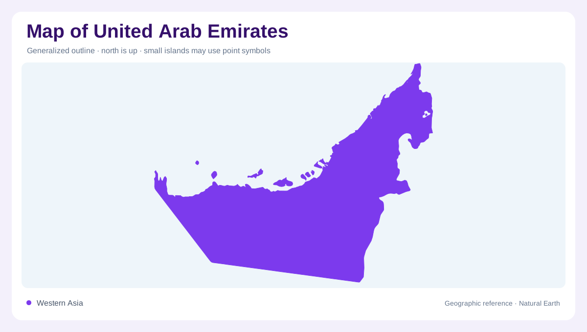
The United Arab Emirates sits on the eastern side of the Arabian Peninsula, where a small national outline contains several sharply different map settings. Six emirates face the Persian Gulf, while Fujairah lies on the Gulf of Oman side beyond the mountain front. Abu Dhabi occupies most of the mainland area and includes broad western and southern desert country. Dubai, Sharjah, Ajman, Umm Al Quwain and Ras Al Khaimah form a more compact northern coastal sequence. Reading the map by emirate names alone can hide the stronger physical contrast between coast, sand plain and mountains.
Shallow Gulf margin
Along the Persian Gulf, the coast stretches across shallow marine water with islands, shoals and coral reefs. These features make the shoreline more complicated than a single smooth edge. Abu Dhabi's island-dotted coast contrasts with the denser urban strip farther northeast, yet both belong to the same low Gulf margin. Salt flats and lagoons can appear as confusing pale shapes on satellite imagery, so they should be distinguished from open water and built land. The coastal zone is also where much of the population is concentrated, giving physical geography and settlement geography a tight overlap.
Desert interior
Most of the country's area is desert, especially in the west and south. On a road or terrain map this interior may look empty, but it is not geographically featureless. Dune fields, gravel surfaces, oases and long-distance tracks give the interior its own pattern. Liwa, near the southern desert of Abu Dhabi, provides an important named anchor because it marks oasis geography within the sandier part of the country. The desert also changes scale perception: distances between settlements are large, while the coastal cities occupy a much narrower band against the Gulf. Wadi mouths, farms and oasis labels are therefore clues to water management, not evidence of permanent rivers.
Mountains and wadis
The northeastern mountains create the UAE's strongest relief. They form part of the Hajar system along the Oman border and help separate the Gulf of Oman coast from the main Persian Gulf side. Rainfall is still limited, but the FAO profile notes higher totals in the northeastern mountains than around Liwa. Wadis descend from this upland edge and shape local farming and settlement patterns, including terrace farming in Fujairah's mountain areas. Because the country has no perennial streams, a mapped channel should be read as a drainage line rather than a guarantee of constant surface water.
How to read the map
A useful UAE map keeps three ecological areas visible: marine coastal zones, sandy desert and northeastern mountains. The pattern explains why the country is geographically asymmetric. Abu Dhabi's large desert territory dominates area, the northern Gulf emirates compress many labels into a short coast, and Fujairah looks outward to a different sea. Offshore islands and reefs should be mapped as separate features, not merged into the mainland. At national scale, the UAE is best understood as a coastal federation backed by desert, with mountain drainage and the Oman-facing coast adding the most important exceptions. Fujairah's shorter coastal catchments contrast with Abu Dhabi's extensive sandy interior.