An island state in parts
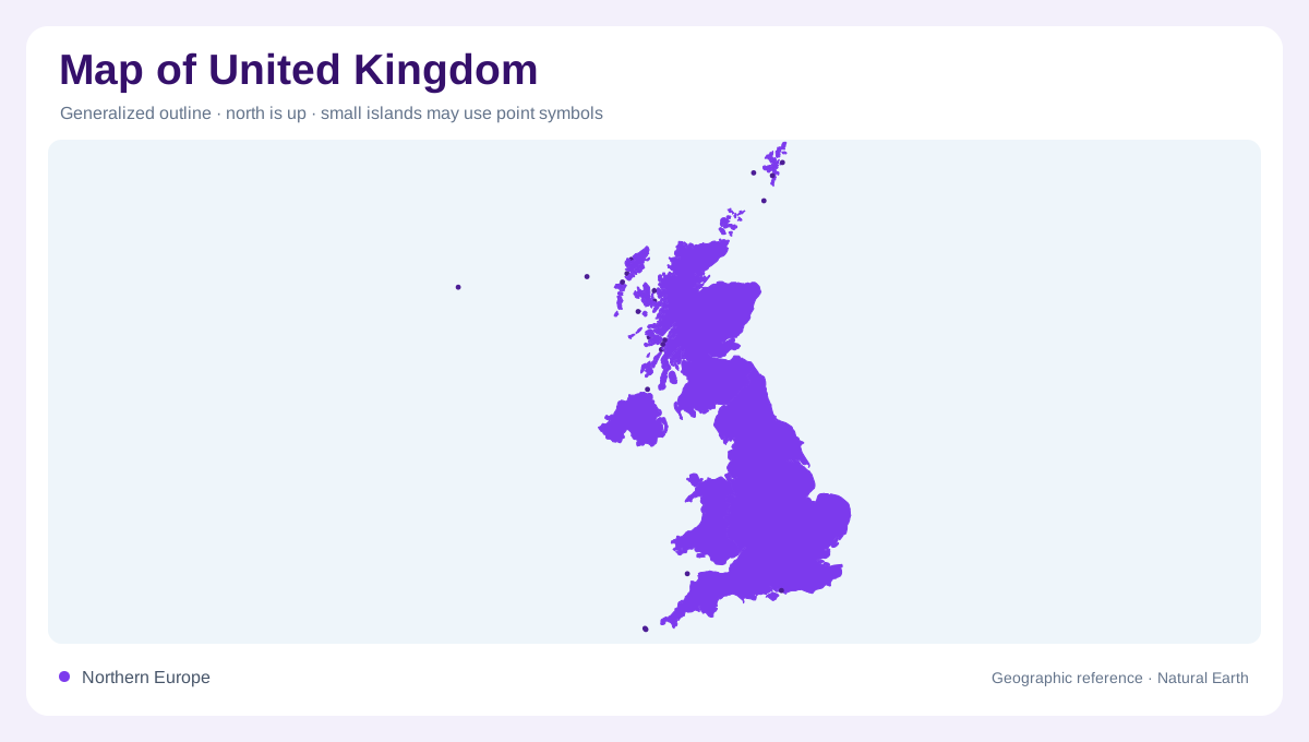
The United Kingdom is best read as a country made from separated but closely related island geographies. Great Britain contains England, Scotland and Wales, while Northern Ireland occupies the northeastern part of the island of Ireland. Around them lie many smaller islands and indented coasts. This arrangement makes sea position central to any map. The Atlantic, North Sea, English Channel and Irish Sea are not background labels; they explain exposure, ports, estuaries and regional orientation. A clear map should keep water spaces legible instead of forcing all attention onto the land outline. Island groups also stretch the country northward and westward beyond any simple rectangle.
Uplands and lowlands
Relief divides the UK into strong regional contrasts. Scotland's Highlands and Southern Uplands differ from the Central Belt between them. Wales is dominated by upland country, while northern England includes the Pennines, Lake District and other raised areas. Southern and eastern England contain broader lowlands, river valleys and chalk or clay landscapes. Northern Ireland has its own uplands around a lower interior that includes Lough Neagh. These names matter because political boundaries do not explain landform by themselves. Terrain shading often reveals more about regional connection than administrative color blocks.
Geology under the map
British Geological Survey mapping is a useful reminder that surface geography rests on varied bedrock and superficial deposits. Its national 1:625,000 dataset covers Great Britain and includes additional data from Northern Ireland, giving a broad geological overview rather than street-level detail. On such maps, older upland rocks, younger sedimentary basins, faults and glacial deposits help explain why neighboring districts can look and drain differently. The purpose is not to memorize every formation. It is to notice that the UK's landscapes are assembled from many underlying structures, not from one island-wide terrain type. Those layers also help separate visual pattern from administrative boundary. That distinction matters at national scale.
Rivers, estuaries and climate
Rivers in the UK are usually short by continental standards, yet their estuaries are major map features. The Thames, Severn, Humber, Mersey, Clyde and Forth connect inland basins with surrounding seas. The Met Office climate averages are location-specific, reflecting the way maritime air, elevation and west-east exposure shape local conditions. Western uplands generally intercept wetter Atlantic weather, while lower eastern districts often appear drier on climate maps. Those patterns should be treated as geographic gradients, not hard borders. A river or rainfall layer gains meaning when read together with relief and coast. This is why coastal charts and inland relief belong in the same reading.
Scale and separated places
The UK's compact printed outline can mislead if scale is ignored. The distance from Cornwall to northern Scotland is substantial, and island groups such as the Hebrides, Orkney and Shetland extend the northern and western reach. Northern Ireland should not be visually absorbed into Great Britain, and nearby crown dependencies are separate from this country record. Shetland and Orkney sit beyond mainland Scotland, while the Hebrides extend along its Atlantic side in several distinct island groups. For map reading, the strongest interpretation combines island separation, upland-lowland relief, estuaries and the surrounding seas.