A scattered territory record
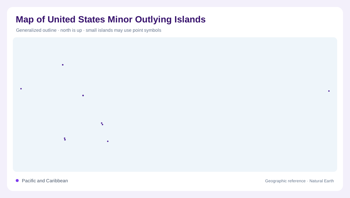
The United States Minor Outlying Islands are not one island group in the ordinary sense. They are a set of small, widely separated islands, reefs and atolls, mostly in the central Pacific, with Navassa Island in the Caribbean Sea between Haiti and Jamaica. A map therefore needs insets or a very broad ocean frame. Treating the entry as a single dot would erase the main geographic fact: these places are separated by immense water distances. They also should not be described with cities, public roads or ordinary tourism patterns, because official refuge pages emphasize remoteness and restricted access. Baker, Howland and Jarvis also sit close to the equator, unlike Midway and Wake far to the north. The same equatorial frame cannot accurately locate all of these scattered islands.
Equatorial reef islands
Baker, Howland and Jarvis are low coral islands near the equatorial Pacific. U.S. Fish and Wildlife Service pages describe Baker and Jarvis as bordering ancient coral reefs and massive extinct volcanoes rising from the deep ocean floor. Howland is likewise a low reef island surrounded by shallow fringing coral reef, with much of its refuge area submerged. These islands are important on a map because they appear tiny as land but large as marine protected spaces. Their labels should sit in ocean context, where reef, submerged habitat and open water carry more meaning than road symbols.
Atolls and reef platforms
Johnston, Palmyra, Kingman, Midway and Wake show different versions of atoll and reef geography. Johnston Atoll includes four named islands: Johnston, Sand, North and East. Palmyra consists of a circular string of about 26 islets among lagoons and reefs. Kingman Reef has very little elevation and is principally a coral reef atoll ecosystem. Midway Atoll comprises an elliptical outer reef, a lagoon and three flat coral islands, with Sand and Eastern as the larger land areas. Wake Atoll consists of Peale, Wake and Wilkes around a reef-enclosed lagoon built on a volcanic base.
Navassa in the Caribbean
Navassa Island adds a separate Caribbean component, so a Pacific-only map is incomplete. The Fish and Wildlife Service describes Navassa as an uninhabited island of about 5 km2 between Haiti and Jamaica, protected as a national wildlife refuge. Its geography is not that of a lagoon atoll; it is a small island with coral reef ecosystems and a history of phosphate extraction. Because Navassa lies in a different oceanic setting from Baker or Wake, it deserves its own inset. Group labels should clarify separation rather than imply that all components belong to one archipelago.
Mapping without overstatement
The safest way to read this territory is by composition and scale. Separate the equatorial reef islands, the northern and central Pacific atolls, Kingman Reef, Palmyra's islets, Midway's three islands, Wake's wishbone outline and Caribbean Navassa. Many official pages note permit-only or non-public access, so visitor infrastructure should not be invented. Elevation, reef enclosure, lagoon shape and submerged acreage explain far more than settlement symbols. A useful map uses wide ocean spacing, careful labels and inset panels, preserving the fact that the territory is statistically grouped but geographically dispersed.