Between two great waters
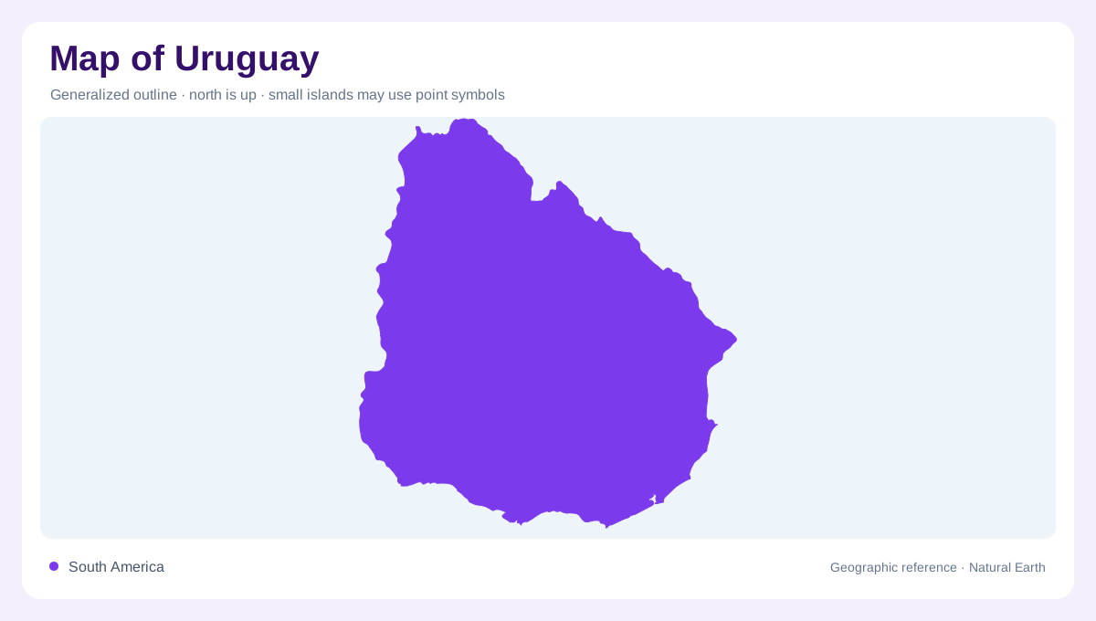
Uruguay occupies the southeastern side of South America between the left bank of the Uruguay River and the left bank of the Rio de la Plata. Its western boundary faces Argentina across the Uruguay River, while the south opens to the broad estuary of the Rio de la Plata and the east reaches the Atlantic Ocean. Brazil borders the north and northeast. This placement makes Uruguay a country whose edges are easy to recognize by water. A map should show rivers, estuary and ocean together, because each boundary creates a different coastal or fluvial landscape.
Rolling plains and low divides
Uruguay is often described through plains, but the word should not imply a perfectly flat surface. The country contains rolling countryside, low ridges and broad valleys that divide drainage without forming high mountains. These gentle landforms are important for map reading because they explain the branching pattern of streams and the placement of agricultural landscapes. Small elevation differences can guide water toward separate basins even when contours look widely spaced. Compared with Andean or Brazilian highland countries, Uruguay's relief is modest; compared with a true coastal flat, it is visibly textured. Cuchilla labels often mark these divides, so they deserve attention even without dramatic elevations.
Rio Negro and internal drainage
The Rio Negro is Uruguay's largest internal basin in the FAO profile, larger than the Santa Lucia, Rio de la Plata and Atlantic coastal basins. It crosses the country from the northeast toward the Uruguay River, dividing northern and southern map regions. Reservoirs on the Rio Negro, including Rincon del Bonete, create long water bodies that should not be mistaken for natural lakes. The Santa Lucia basin is smaller but geographically important in the southwest. Following these rivers shows how Uruguay's inland water network ultimately relates to the Plata system and nearby Atlantic margins.
Atlantic coast and Laguna Merin
The eastern side of Uruguay changes the map from river-border country to Atlantic-facing coast. Lagoons, beaches and low coastal plains appear alongside the open ocean. Laguna Merin, shared with Brazil, forms a large basin that drains directly toward the Atlantic rather than through the main Rio de la Plata system. This distinction matters: on a small map, all eastern water may look alike, but basin direction separates Laguna Merin from the Uruguay and Rio Negro systems. The Atlantic frontage also gives Uruguay a second maritime orientation beyond the estuary near Montevideo.
A compact but connected map
Uruguay's compact outline can make its geography appear simple, yet its water connections are layered. The Uruguay River, Rio Negro, Santa Lucia, Rio de la Plata, Laguna Merin and Atlantic coast each organize different parts of the country. Montevideo belongs to the southern estuary setting, not the Atlantic lagoon coast or the western river boundary. A useful map therefore avoids reducing Uruguay to one capital point and one border river. It should show low relief, river basins and coastlines together, making clear how a small country sits inside the wider Plata basin. The Río Negro's diagonal course contrasts with the western boundary river, while coastal catchments interrupt any assumption that all drainage follows that direction.