A continental country with outliers
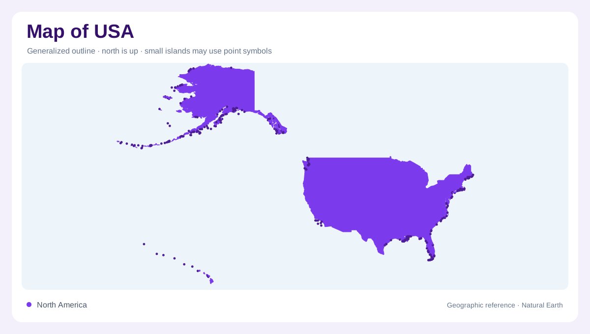
The USA cannot be read from the conterminous states alone. The main block spans the Atlantic and Pacific sides of North America, but Alaska extends the country into the Arctic and north Pacific, while Hawaii sits as a volcanic island chain in the central Pacific. A national map therefore needs either a very broad frame or careful insets. The Great Lakes, Gulf of Mexico, Atlantic coast, Pacific coast and Arctic-facing Alaska all belong to the same geographic account. Scale comparisons are essential, because Alaska and Hawaii are often repositioned for page design. Insets should disclose repositioning, because visual convenience can otherwise distort ocean distance and continental scale.
Interior river structure
The Mississippi River system is one of the clearest ways to organize the interior. The National Park Service describes the Mississippi as one of the world's major river systems in size, habitat diversity and biological productivity, as well as a major waterway of North America. Its basin links the upper Midwest, central plains and Gulf outlet through many tributaries. East of the Appalachians, shorter rivers descend toward the Atlantic. Across western mountains, drainage divides separate rivers reaching the Pacific from interior basins without any direct ocean outlet. Rivers reveal connections that state borders often obscure.
Western relief and plateaus
The western USA is dominated by mountains, plateaus, basins and arid valleys. NPS geology material describes plate tectonic forces as central to forming mountains, valleys and coastlines, and Yellowstone as a landscape shaped by compression, extension, glaciation, erosion and volcanism. Farther south, the Grand Canyon exposes the Colorado Plateau, where nearly horizontal sedimentary rocks were lifted high above sea level and cut by the Colorado River. These examples show why western maps need relief shading. A flat political map cannot explain the sudden transitions between high ranges, canyon country and desert basins.
Alaska and Hawaii
Alaska adds a separate northern scale. Denali National Park describes the Alaska Range as a 600-mile arc of mountains and notes that glaciers fill a significant part of the park. That landscape belongs to a different tectonic and climatic setting from the lower states. Hawaii adds another exception: the National Park Service explains that volcanoes built the Hawaiian island chain, with Kilauea and Mauna Loa still adding to the island of Hawaii. These two outlying regions prevent any single terrain label from fitting the whole USA. They also require separate inset treatment.
Reading a national map
A strong USA map moves between multiple scales. At the largest view, it should preserve the relationships among the conterminous states, Alaska, Hawaii and surrounding waters. At regional scale, the Mississippi basin, Appalachian belt, Great Plains, Rocky Mountains, Colorado Plateau, Pacific ranges, Alaska Range and Hawaiian volcanoes become distinct geographic systems. Coastlines vary from Atlantic estuaries to Gulf wetlands, Pacific mountains and Arctic shores. No single city, road corridor or time zone can summarize the country. The most useful interpretation combines drainage, relief, coasts and correctly scaled insets. The Great Lakes also deserve separate attention as inland seas along the northern border. Their shoreline pattern differs sharply from Atlantic or Pacific coasts as well.