Two destinations for water
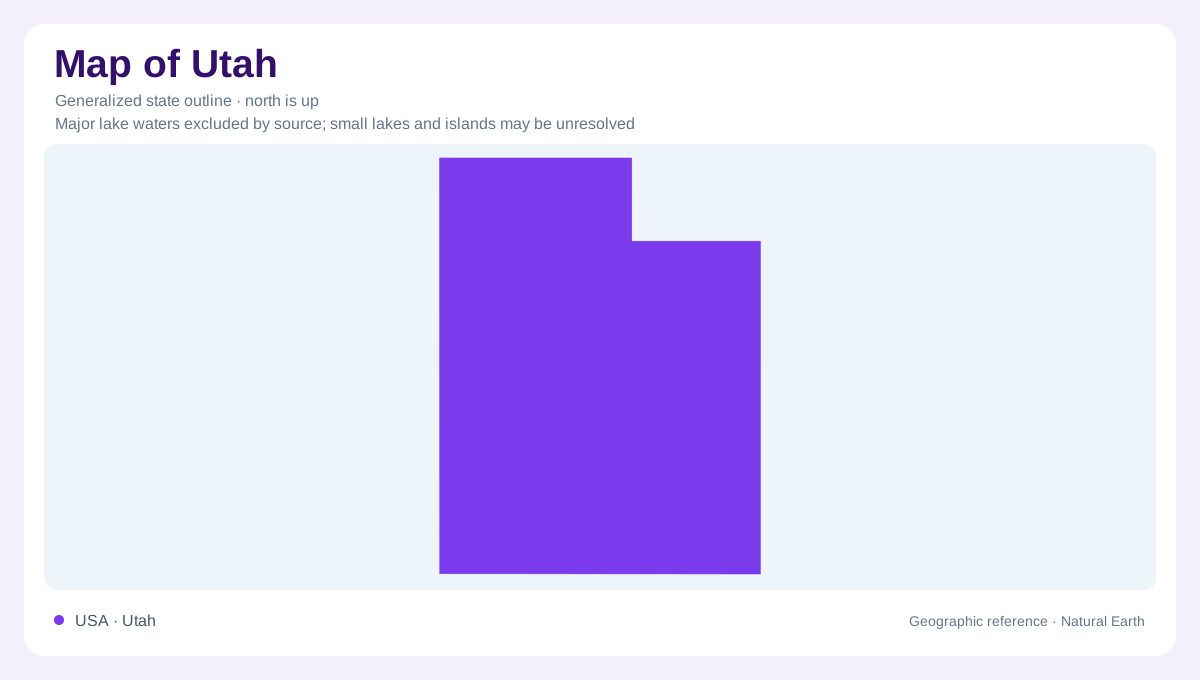
Utah's geography turns on a question that its angular outline cannot answer: where does the water go? In the west, much drainage remains inside the Great Basin, while southeastern Utah belongs to the Colorado River system. These contrasting destinations connect mountain slopes, desert valleys, and distant downstream regions. The state also straddles different kinds of relief. Basin and Range terrain alternates between mountain blocks and valleys, whereas the Colorado Plateau contains elevated expanses deeply opened by erosion. Utah is consequently neither one continuous desert plain nor one mountain chain. Its strongest geographic divisions run through the interior, across administrative lines.
The lake that retains its salts
Great Salt Lake is a shallow, saline remnant of ancient Lake Bonneville. The Bear, Weber, and Jordan rivers bring water into it, but it has no surface outlet to the ocean. Evaporation removes water while dissolved salts remain, helping explain its character. Its shoreline is therefore a changing boundary rather than a fixed edge comparable to a surveyed state line. Lake levels respond to the balance between incoming water and losses. The surrounding wetlands are part of this connected basin, not separate ornaments around a lake. Their position makes the northwestern lowlands important habitat within an otherwise often dry landscape.
Ranges rising between desert valleys
Western Utah occupies part of the Basin and Range province, which continues into Nevada and beyond. Crustal stretching and fault movement produced its repeated alternation of raised ranges and lowered basins. Viewed regionally, a valley is one component of that structure rather than simply a gap between unrelated hills. Erosion carries material off mountain slopes and spreads it along their bases, producing features such as alluvial fans. Flat valley floors can contrast abruptly with steep mountain fronts. This arrangement explains why a short horizontal distance may cross substantial relief, even where the broader country appears open and sparsely interrupted.
An elevated region with deep cuts
The Colorado Plateau spans the Four Corners region, where Utah meets Colorado, New Mexico, and Arizona. Its plateaus, mesas, buttes, and canyons record different stages of erosion through layered rock. Canyonlands offers a particularly clear example: sediments deposited by rivers, wind, and ancient coastal environments became rock before uplift changed the landscape. Rivers subsequently removed material from the raised surface. The resulting canyon country combines high ground with deep channels rather than occupying a uniformly low basin. Isolated mountains such as the La Sals, Henrys, and Abajos add another element, exposing harder igneous rock within this predominantly layered sedimentary region.
Reading the canyon walls
In Canyonlands, the Green and Colorado rivers have cut through successive rock layers. Harder beds can form ledges while softer beds retreat, creating stepped canyon profiles. Where resistant rock shelters weaker material beneath it, erosion can leave towers or balanced forms. Rainwater also enters cracks and enlarges them, contributing to narrow fins and spires. These processes explain the difference between the broad plateau surface and its intricate eroded margins. An outline map supplies statewide orientation, but it does not portray those vertical relationships. Utah's canyons are best understood as missing rock within an uplifted landscape, continually reshaped by water and weather.