Landlocked Aral basin country
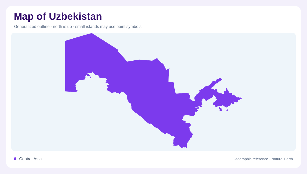
Uzbekistan is a landlocked Central Asian country whose map is organized by the Aral Sea basin rather than by access to an ocean. Kazakhstan borders much of the north and west, with the Aral Sea along the country's far northwestern desert margin; other borders meet Kyrgyzstan, Tajikistan, Afghanistan and Turkmenistan. The country's outline stretches around deserts, river valleys and eastern mountains, so distance alone does not explain connection. A settlement on a valley floor may be more closely linked to irrigation routes than to a nearby desert area. Basin geography is the key. This is why straight-line proximity can be misleading between valley towns and dry interior tracts.
Desert and steppe west
The FAO profile identifies desert, steppe and semi-arid region as covering most of Uzbekistan, especially the Kyzylkum. This western and central landscape gives the country large areas where rivers and canals are the decisive map features. Dry plains can look simple at small scale, yet they contain depressions, dune fields, settlements, roads and irrigation edges. The shrinking Aral Sea adds another layer of geographic interpretation because water extent and former shoreline are not fixed visual assumptions. A good map should separate present water, desert surface and cultivated corridors rather than coloring the interior uniformly.
Amu Darya system
The Amu Darya basin covers most of Uzbekistan in the FAO water account. The river's upper flow is generated largely outside the country, then the system reaches Uzbek territory before continuing through lowland and desert reaches toward the Aral Sea. Within Uzbekistan, tributaries and related rivers include the Surkhandarya, Sherabad, Kashkadarya and Zeravshan. The Zeravshan is especially useful for map reading because it formerly connected more directly with the Amu Darya system but now loses its remaining flow near Bukhara after irrigation use and desert evaporation. Water paths here are both natural and managed.
Syr Darya and eastern valleys
The Syr Darya basin is smaller in area but crucial in the east and northeast. Tributaries such as the Chirchik and Akhangaran rise in neighboring mountain areas, while the Fergana Valley forms one of the country's best-known fertile lowland settings. Eastern Uzbekistan reaches the Tien Shan and Gissar-Alay ranges, where peaks approach 4,500 meters. This creates an abrupt contrast with the Kyzylkum and Aral lowlands. On a national map, the east should not be reduced to a border strip; it is where mountain water, valley agriculture and dense settlement patterns meet. Chirchik water also helps explain Tashkent's geographic position below mountain catchments.
Canals, lakes and map caution
Uzbekistan's water geography requires caution because canals, reservoirs, drainage lakes and natural rivers interact. FAO notes Aydarkul in the Arnasay depression, Sarykamish and Sudochie in the lower Amu Darya reach, plus reservoirs such as Charvak near Tashkent and Andijan in the Fergana Valley. These features do not represent one continuous lake district. They belong to separate basins, irrigation histories and relief settings. The most useful reading starts with the Amu Darya and Syr Darya, then adds deserts, eastern mountains, canals and the changing Aral Sea margin as distinct layers. Charvak belongs to mountain drainage, whereas lowland lakes occupy much flatter desert terrain.