A city-state inside Rome
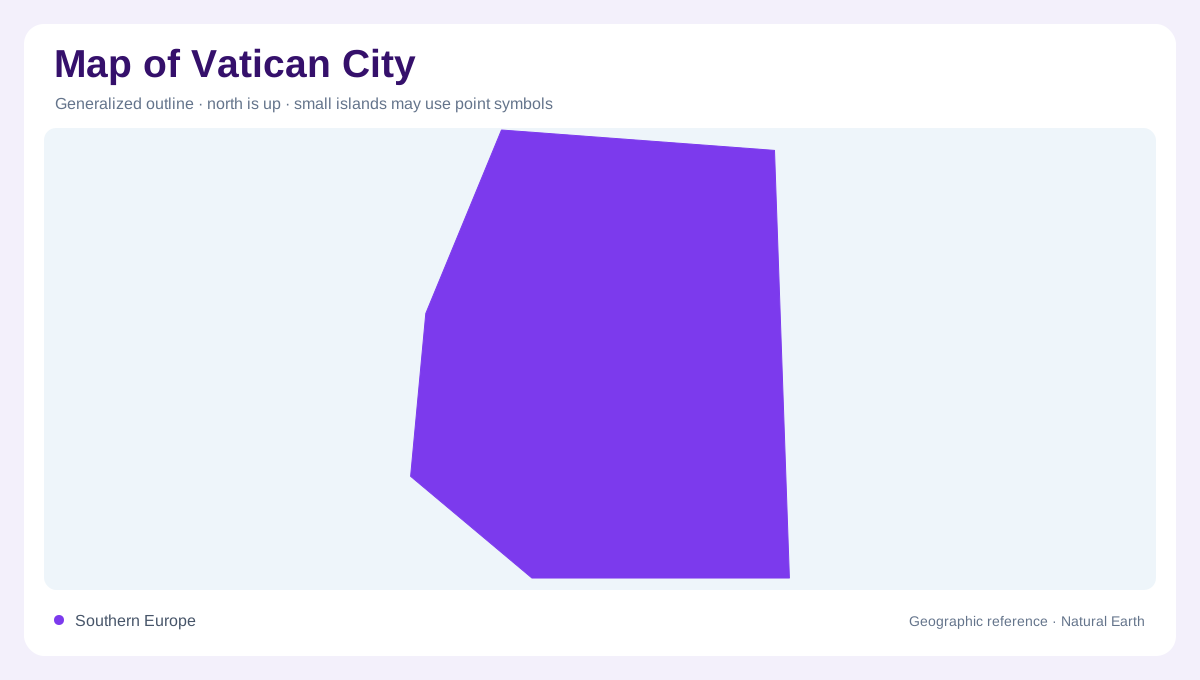
Vatican City is best read at neighborhood scale. Its territory covers considerably less than one square kilometer overall, on the west side of central Rome near the right bank of the Tiber River. On a world map the state is invisible unless symbolized, but on a street map its edges matter greatly. The shape is not a natural island; it is an urban enclave where walls, gates, piazzas, colonnades and adjacent Roman streets define the practical geography.
Hill, square and basilica
The site occupies part of the historic Vatican Hill, the Montes Vaticani, which gives the state a low but meaningful rise above surrounding Roman ground. Saint Peter's Basilica and Saint Peter's Square dominate orientation. The square is included up to the marble strip at the outer part of the colonnade, so a map should treat the open ellipse and the basilica axis as geographic structure, not decoration. This is one of the rare countries where a plaza can be a boundary-reading feature.
Walls and entrances
Much of the territory is enclosed by walls, and official geography notes entrances interrupting the otherwise largely enclosed perimeter. For map reading, those entrances clarify why Vatican City is not simply a continuous public district of Rome. The Vatican Museums entrance from Viale Vaticano lies outside the ceremonial approach to Saint Peter's Square, so visitor movement and political boundary do not line up neatly. The smallest state on the map still has distinguishable edges, access points and internal orientation.
Edges beyond the wall
The Holy See also uses properties elsewhere in Rome, especially around Piazza Pio XII, Via della Conciliazione, Piazza San Calisto, Piazza della Cancelleria and Piazza di Spagna. These are not all part of Vatican City's compact land area, but they explain why labels connected with Vatican institutions appear beyond the wall. A careful map should separate the sovereign city-state from extraterritorial properties and from the broader religious and diplomatic geography of the Holy See.
A map built from detail
Scale changes everything here. At continental scale Vatican City is a dot within Italy; at city scale it becomes a precise arrangement of basilica, gardens, museums, service buildings, courtyards and perimeter streets. North, south, east and west are less useful than recognizable landmarks: the Tiber to the east, Via della Conciliazione leading toward the square, and the walled gardens behind the basilica. The map's purpose is therefore not distance planning, but understanding a compact jurisdiction embedded in Rome. Because the state is so small, general road atlases often exaggerate its symbol or omit internal detail. A useful local map instead treats the boundary as a fine urban line. The Vatican Gardens occupy a large share of the enclosed western side, while the museums and service areas sit behind approaches that differ from the ceremonial basilica front. This distinction keeps a reader from confusing the public square, museum access, landscaped interior and wider Roman streets. It also explains why the same place can be read as a country, a religious precinct and a compact urban district at once. Here, meters matter far more than regional distance or highway hierarchy.