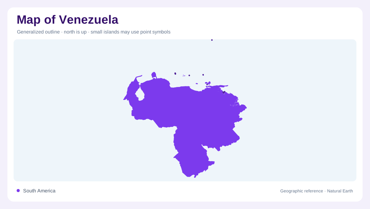
A Caribbean and continental country
Venezuela's map combines a long Caribbean frontage with a deep continental interior. Northern Venezuela includes Caracas inland, alongside La Guaira, Cumana, Barcelona, Coro and Maracaibo nearer the Caribbean shore, while the southern and eastern map opens toward the Orinoco system and the Guiana highlands. This north-south contrast is the first useful frame: dense coastal labels do not describe the scale of Amazonas, Bolivar, Apure and Delta Amacuro farther inland.
Maracaibo and western mountains
The northwest is organized by Lake Maracaibo and its surrounding plain. Zulia occupies much of that lowland setting, with Maracaibo on the lake's western side and Catatumbo tributaries entering from the Colombian direction. South and east of the lake, the Andes introduce a different map texture. Merida, Trujillo, San Cristobal and Barinas mark the transition from mountain valleys toward the Llanos. Pico Bolivar appears as the national high-point symbol on FAO's detailed country map.
Llanos rivers and the Orinoco
Across the central plains, the Orinoco is the main geographic spine. The Apure, Meta, Guarico, Portuguesa and Guanare systems show how broad savanna lowlands drain across floodplains before reaching the Orinoco corridor. San Fernando de Apure and Ciudad Bolivar are useful river-reading anchors rather than merely city dots. FAO water data also highlights the importance of cross-border inflow, especially from Colombia into the Orinoco basin, so Venezuela's drainage cannot be understood only inside its borders.
Highlands, deltas and southern scale
Eastern and southern Venezuela change the map again. The Caroni, Caura, Paragua, Cuyuni and Casiquiare names point into forested highland and shield landscapes. Guri and Caruachi mark major dammed-water locations on the Caroni system. Farther east, Delta Amacuro spreads toward the Atlantic through low, wet distributary terrain, while Puerto Ayacucho locates Amazonas far from the coast. The Casiquiare connection with the Amazon basin is especially important because it links otherwise separate drainage worlds.
How to read the whole
A useful Venezuela map should be read in layers: Caribbean littoral, Maracaibo basin, Andean margins, Llanos plains, Orinoco corridor, Guiana highlands and Atlantic delta. The country has abundant average renewable water resources in FAO's accounting, but that figure hides strong regional differences between wet southern basins, urban coastal valleys and seasonally flooded plains. For orientation, keep Caracas and Maracaibo as northern anchors, then follow the Orinoco arc to understand why the interior occupies most of the national space. Scale also changes the offshore reading. Nueva Esparta and Gran Roque are small labels beside the mainland, but they confirm that Venezuela's Caribbean geography includes islands as well as continental coast. In the west, Falcon and Lara point toward drier coastal and interior basins, while Sucre and Delta Amacuro face the Caribbean-Atlantic transition. The Guiana Shield south of the Orinoco should be read separately from both the Llanos and the Maracaibo lowland. That separation helps prevent the entire country from being summarized by Caracas, oil basins or one famous river alone. Cross-border watersheds add geographic connections that territorial outlines alone cannot adequately explain. The far south is equally easy to underread, since Amazonas contains few large city labels but occupies a major share of the national map surface at small scale.