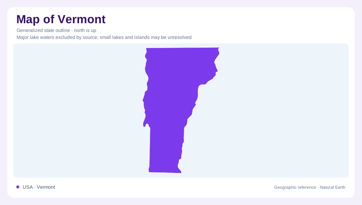
A mountain state between different lowlands
Vermont occupies an elongated part of northern New England, with Canada to the north and Massachusetts to the south. Lake Champlain helps define its western setting beside New York, while the Connecticut River marks its eastern relationship with New Hampshire. Between these lowlands, the Green Mountains organize much of the state's relief. That framework is useful, but it is not a picture of isolated mountains surrounded by untouched valleys. Ice once covered even the summits. Rivers, glacial deposits, and older bedrock structures together explain the country inside Vermont's outline, at scales that a simple boundary illustration cannot distinguish by itself.
The Winooski's interrupted drainage
The Winooski River drains westward toward the Champlain Valley. During the retreat of the continental ice sheet, that direction became an obstacle: ice blocked the outlet and water accumulated upstream. Glacial Lake Winooski occupied the impounded drainage. As the ice margin moved, successively lower outlets became available, releasing water through changing routes toward the Champlain lowland. The Huntington River valley and Hollow Brook figured in this sequence. Today's connected river valley therefore contains evidence of former standing water. A broad valley floor can preserve deposits from a lake even where the modern landscape is drained by a comparatively narrow river.
What the ice left behind
Central Vermont's surface materials include till spread beneath the ice sheet and sediment deposited beside or beneath retreating ice. Former lakes added another set of materials: coarser deposits accumulated near deltas and shorelines, while fine sediment settled in deeper, quieter water. These differences matter when interpreting a landscape that otherwise appears uniformly wooded. The shape of the underlying rock is only part of the explanation; the cover above it records a separate history. Mountain slopes, valley margins, and flatter valley bottoms can contain different deposits. Glaciation connected them within one regional event but did not leave an identical surface everywhere.
Older rock above younger rock at Burlington
At Lone Rock Point in Burlington, the Champlain Thrust exposes a different kind of geographic history. Fault movement placed older Cambrian dolostone above younger Ordovician shale. The resistant upper rock and darker lower rock meet along a distinct surface, documenting compression rather than the usual sequence of younger sediment accumulating on older layers. The structure extends beyond Vermont, linking the Champlain Valley to a much larger geological belt. Burlington's lakeside position thus combines lowland geography with evidence of ancient mountain building. The present surface can look relatively subdued while the rocks underneath preserve substantial displacement from a much older landscape.
A river cuts Quechee Gorge
Quechee Gorge lies on the Ottauquechee River in Hartford, eastern Vermont. Its narrow walls expose metamorphic rocks of the Gile Mountain Formation. Before the modern gorge developed, meltwater deposited sediment into glacial Lake Hitchcock, which occupied the Connecticut valley region. When that lake drained, the river cut through the sediment and established its course across bedrock. It then continued the slower work of cutting rock. The gorge consequently joins two histories: rapid adjustment in loose deposits and prolonged erosion in harder material. Its confined channel contrasts with the wider former lake setting that helped determine where the river would flow.