A narrow country with two deltas
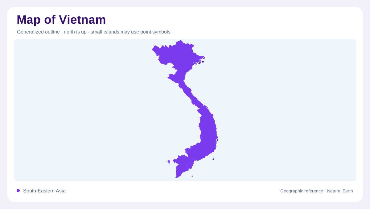
Vietnam's map is easiest to understand as a long S-shaped country tied to the sea and widened at its river deltas. The Red River Delta around Hanoi and Hai Phong forms the northern lowland focus, while the Mekong River Delta spreads across the far south. Between them, the country narrows along the North Central and South Central coasts. That coastal squeeze explains why distances along the map can feel linear, even though mountains, estuaries and provincial boundaries interrupt a simple north-south reading.
Northern basins and uplands
Northern Vietnam combines delta, hill country and border uplands. FAO's detailed map labels the Red River, Thai Binh, Lo, Da, Chay, Ky Cung and Bang Giang systems, with Lake Ba Be and Thac Ba reservoir adding inland water markers. Hanoi sits in the delta plain, Hai Phong near the coast, and the northeast and northwest regions push toward China and Laos. A national map should therefore show more than coastline; the northern water network forms a dense geographic frame.
Central coast and highlands
The middle of Vietnam is where narrowness becomes most obvious. Hue, Danang, the Huong River, Thu Bon, Tra Khuc, Ba and Phan Rang appear along or near a coast backed by higher interior ground. Westward, the Central Highland region and rivers such as the Srepok connect the map toward Cambodia and Laos. Because the coastal plain is thin in many stretches, settlement, transport corridors and river mouths often sit close together even when the inland terrain rises quickly behind them.
Southern lowlands and Mekong water
Southern Vietnam opens into broader lowlands around Ho Chi Minh City, the Dong Nai system and the Mekong River Delta. The FAO map distinguishes the South East region from the Mekong River Delta, a useful separation because urban, industrial and deltaic landscapes should not be blurred into one southern block. FAO water accounting also records very large external renewable water resources, reflecting the country's reliance on river flows that begin beyond its borders before reaching Vietnamese plains.
Reading coast, rivers and borders together
A practical Vietnam map combines three relationships: mountains to lowlands, rivers to deltas, and coastline to neighboring states. The Gulf of Tonkin, South China Sea and Gulf of Thailand create different maritime edges. China, Laos and Cambodia frame the inland side. The Red River and Mekong systems then provide the main hydrologic bookends. If a map uses only city labels, Vietnam may look like a coastal corridor; adding basins and highlands reveals a more varied country. The geographic region labels on FAO's map are especially helpful because they prevent the long outline from flattening into one coastal strip. North East and North West point toward different uplands, while the two coastal regions identify a narrow middle with several short rivers entering the sea. The Central Highland label explains why some important watercourses drain away from the nearest coast. In the south, canals and lowland irrigation appear as part of the delta pattern. Reading these labels together gives Vietnam a basin-by-basin structure instead of a simple highway-shaped silhouette. That structure is essential when comparing compact deltas with the elongated central shoreline and borders.