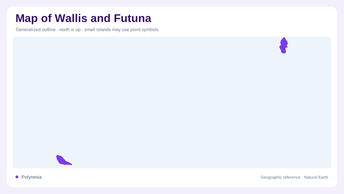
Two island groups, not one island
Wallis and Futuna must be read as separated components in the South Pacific. The official territorial presentation describes Wallis on one side and Futuna with Alofi on the other, divided by about 230 kilometers of ocean. Nearby regional references also matter: Fiji lies southwest of Futuna, and Samoa lies east of Wallis. On a small map the territory may look compact, but a usable map must show the sea gap between the two inhabited island settings.
Wallis and its lagoon
Wallis, also known locally as Uvea, is the larger northern component in administrative and settlement terms. The official source describes it as a low volcanic island of 77.9 square kilometers, with little relief and a high point of 151 meters. It is surrounded by a lagoon barred by a continuous reef. The main southern pass leads through a marked channel toward the wharf of Mata'Utu, the territorial capital, so lagoon, reef and pass are essential map features.
Futuna and Alofi
Futuna and Alofi form the southern component, only about 1.7 kilometers apart from each other but far from Wallis. The official presentation describes them as high volcanic islands without a lagoon, with a combined area of 64.3 square kilometers and a high point of 524 meters. Alofi is uninhabited. Their coastlines are more abrupt than Wallis, apart from small coastal plains, so a map should not transfer Wallis's reef-lagoon pattern to Futuna.
Relief, risk and weather
The territory's physical geography is shaped by volcanic origin, tropical maritime climate and tectonic setting. The official account notes that Futuna and Alofi lie near the North Fiji fracture zone and a fault affecting those islands, with exposure to shallow earthquakes, tsunamis and landslides. It also describes warm, humid, cloudy conditions, rainfall above 3,000 millimeters and no dry season. Those facts explain why elevation, coast type and exposure differ between islands.
How the map should be read
A clear map of Wallis and Futuna should avoid compressing the territory into one dot. Wallis needs its lagoon, reef, Mata'Utu and airport context; Futuna needs the linked but separate geography of Futuna and uninhabited Alofi. The three customary kingdoms, Uvea, Sigave and Alo, help orient administrative labels, but the first map question is physical: low lagoon island in the north, higher volcanic islands in the south, with a long stretch of Pacific between. For orientation, Wallis is not just physically lower; it is also where the international airport and territorial capital concentrate many map labels. Futuna's kingdoms of Sigave and Alo occupy a steeper setting where villages are tied closely to narrow coastal margins. Alofi's lack of permanent settlement changes how it should be mapped: it needs island identity, distinct from inhabited coastal villages. The ocean gap also affects scale bars, because an inset that enlarges each group may hide their real separation unless the locator shows both groups together. Because the territory is small in land area, labels can crowd quickly at large scale. A good map should leave enough sea around each group to show separation, while enlarging villages, reefs and relief only where the inset scale can carry them accurately.