The northwest corner contains several landscapes
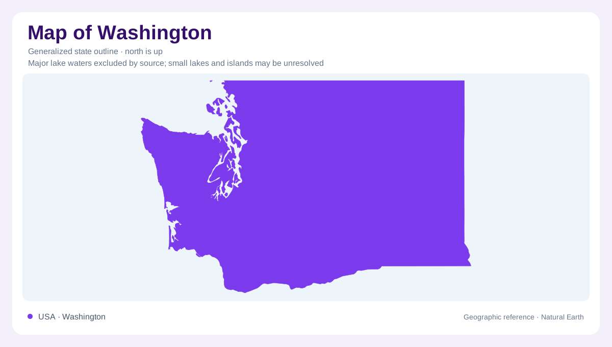
Washington's outline combines a comparatively straight northern boundary with a deeply indented maritime corner and a river shaped southern edge. The Pacific coast, Olympic Peninsula, and Puget Sound occupy different positions within that western geography. Inland, the Cascades separate the Puget Lowland from the broad Columbia Basin country farther east. These are useful starting relationships, but they conceal considerable local variety: offshore islands, mountain valleys, volcanic peaks, basalt canyons, and rolling silt hills all occur within the state. A boundary map establishes their regional frame. It cannot explain the contrasting processes that produced their surfaces or the relief between them.
An Olympic mountain center
The Olympic Mountains rise within the peninsula between the Pacific, the Strait of Juan de Fuca, and the Puget Sound region. Rivers radiate outward from the high interior, carrying water from snowfields, glaciers, and heavily watered slopes. Abundant rain supports rainforest on the western side. The rocks tell an unexpected story for such mountainous terrain: much of their material originated in oceanic settings before being added to the continent, folded, and uplifted. Sandstone, shale, and basalt are important components. This origin distinguishes the Olympic massif from the familiar volcanic cones across the lowland, although both belong to the active Pacific margin.
Puget Sound's glacial setting
Between the Olympics and Cascades, the Puget Lowland extends from the San Juan Islands southward beyond Puget Sound. Repeated ice advances left widespread sediment and reshaped the land. Elongated ridges can record ice movement, while moraines mark former ice margins. Buried ice blocks later melted to leave kettle depressions; streams beneath glaciers deposited sinuous gravel ridges called eskers. These features explain why apparently gentle lowland country is still topographically intricate. Its marine inlets, uplands, and valleys must be considered together. The region's urban shoreline setting occupies a landscape inherited partly from ice, rather than a simple coastal plain formed solely by waves.
Cascade volcanoes and their surroundings
Mount Rainier, Mount Adams, and Mount St. Helens stand within the southern Cascades, where repeated volcanism has added rock to a much older geological foundation. The prominent cones are individual centers within a broad mountain province, not the entire range. Volcanic deposits include material carried down valleys as well as lava accumulated around vents. At Rainier, evidence of ancient mudflows connects the mountain to lowland drainage far beyond its summit. This relationship gives river valleys a significance that peak locations alone cannot convey. Washington's mountain geography includes both elevated sources of sediment and the lower corridors through which that sediment moves.
Floods and wind across the Columbia Basin
Eastern Washington's Columbia Basin contains thick basalt flows, deeply cut channels, and sediment deposited by wind and water. Ice Age floods released from glacial lakes carved the Channeled Scablands, leaving coulees, potholes, and enormous erosional forms. The Palouse Hills near Pullman reflect a different process: wind accumulated fine silt into rolling loess hills. Folded basalt also forms ridges in the Yakima region. These neighboring landscapes show why eastern Washington cannot be reduced to a flat agricultural plain. Their contrasting shapes record lava emplacement, deformation, catastrophic flooding, and wind deposition across a broad, often arid interior region.