Why a plateau can be mountainous
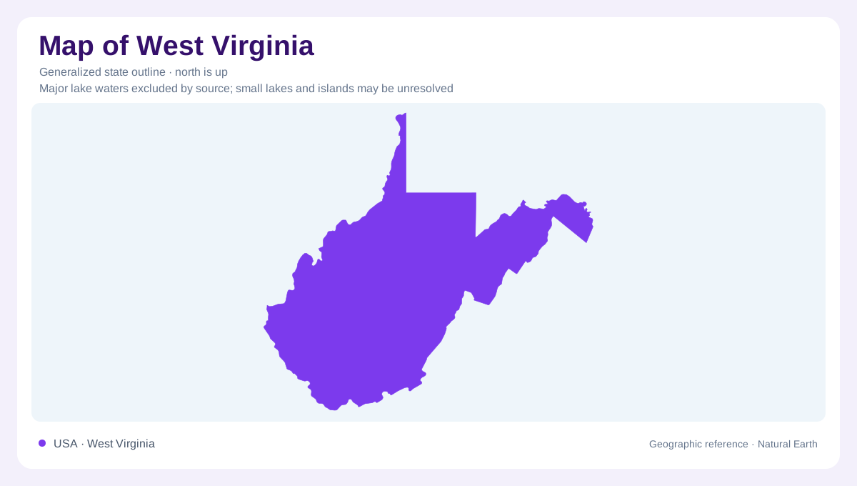
West Virginia's name as a mountain state can obscure its most useful physical distinction: much of the terrain belongs to a plateau. Across the western portion, rivers and tributaries have cut an elevated rock surface into closely spaced ridges, hollows, and valleys. The result is rugged ground without requiring every ridge to be a separately uplifted mountain. Farther east, folding and faulting created a different pattern of elongated mountains and valleys. The state's irregular outline and projecting panhandles establish its administrative shape, but the contrast between dissected plateau and folded terrain provides a stronger explanation of what lies within it.
The Appalachian Plateau's layered foundation
The Appalachian Plateau covers roughly the western two thirds of West Virginia. Its rocks are relatively flat lying over broad areas, although folds and faults complicate the eastern part. Sedimentary layers include the coal bearing formations associated with the state's mining history. Streams have exposed these layers along valley walls, joining resource geography to the drainage network. The plateau also tilts broadly westward. That regional inclination does not make every local slope face west: tributaries cut in many directions, producing intricate relief. A hilltop and a nearby stream can be close horizontally yet separated by a vertical rock section.
The Allegheny Front as a transition
The Allegheny Front separates the plateau province from the folded Valley and Ridge to the east. Running generally northeast to southwest, it marks a conspicuous change in both landforms and geological structure. Near this transition, the Allegheny Mountain Section combines characteristics of dissected plateau country with those of the folded mountains beyond. The boundary is therefore more informative than a simple division between mountains and plains. Both sides can be steep, while the arrangement of their rocks differs. Following the Front conceptually helps organize West Virginia's eastern highlands without assuming that all elevations belong to the same kind of landscape.
Eastern valleys and a small Blue Ridge corner
East of the Front, resistant sandstone and limestone help support long ridges, while weaker shale and siltstone commonly underlie valleys. Repeated folds and faults bring rock belts back to the surface, explaining the aligned pattern. Farther east lies the Great Valley, where limestone and dolomite contribute to comparatively broad agricultural country. A small portion of the Blue Ridge reaches West Virginia along its eastern boundary in Jefferson County. This limited corner matters because the state spans three physiographic provinces, even though two dominate. Its eastern extremity should not be treated as a miniature version of the coal bearing western plateau.
The gorge exposes the plateau
New River Gorge provides a concentrated example of erosion through plateau rocks. Its steep canyon walls expose sandstone and shale, with resistant Nuttall sandstone helping form cliffs in the lower gorge. The river has also exposed coal bearing layers, linking the gorge's industrial history to its geological structure. Large fallen blocks at the base of cliffs show that shaping the canyon involves slope collapse as well as river cutting. These vertical relationships are absent from an outline illustration. Understanding the gorge means considering the river, its walls, and the upland surface together, rather than reading the channel as an isolated line.