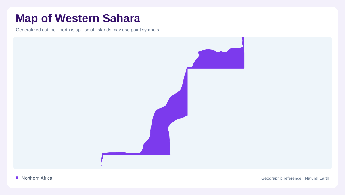
An Atlantic edge to the Sahara
Western Sahara lies along the Atlantic margin of northwestern Africa, adjoining Morocco, Algeria and Mauritania. Its status is disputed, and inclusion as a separate geographic entry does not settle sovereignty. The physical setting is easier to establish: desert surfaces extend inland from a long ocean frontage, while Laayoune and Dakhla provide contrasting northern and southern coastal references. A continental map locates the territory beside the Sahara; a closer view reveals dunes, incised drainage, bays and human alterations that disappear within a uniform desert colour. Those distinctions matter because the coastline and inland sand do not form one continuous, featureless environment.
The Hamra valley near Laayoune
The Hamra River, also known as As Saquia al Hamra, approaches Laayoune from the interior. NASA's astronaut photography documents an unusual lower valley in which water meets a dune field before reaching the Atlantic. Low cliffs flank the channel, marking erosion into the surrounding terrain. In the photographed landscape, the river ended in a lake inland from the ocean, demonstrating why a line aimed towards the coast need not have an open river mouth. This observation describes a particular image and geographic process; it should not be converted into a claim that the water outline remains identical throughout every season.
Wind and water leave different signatures
Near the Hamra's lower reach, crescent-shaped dunes contrast with the angular outlines of city blocks. Their pointed ends indicate the direction of movement in NASA's documented view, while sand spilling over the valley cliffs creates irregular margins beside the water. Older river courses remain distinguishable in the surrounding ground, showing that one contemporary channel line cannot describe the drainage history. Laayoune, also written El Aaiún, therefore belongs to a landscape shaped by both flowing water and windblown sediment. Comparing those curved natural forms with the settlement grid helps distinguish active dunes, former drainage and built surfaces without confusing their origins.
Dakhla Bay separates sheltered and open water
Farther south, Dakhla Bay introduces a marine landscape within the desert coast. Ramsar describes a bay separated from the Atlantic by a dune system, with intertidal seagrass beds, algal flats and salt and sand pans. A shoreline map needs to preserve that sheltered-water geometry instead of treating the bay as a freshwater lake. Tidal margins also mean that land and water boundaries vary with the observation time. The Ramsar record provides ecological evidence, while its reporting-country label is not used here to resolve sovereignty. Physical features can be described precisely without making the source's administrative classification the article's political conclusion.
Bou Craa connects the interior with El Marsa
A conspicuous human feature crosses the desert between Bou Craa and El Marsa near Laayoune. NASA imagery records the phosphate mine and its long conveyor system linking the inland workings with the coast. Pale mineral dust makes the alignment stand out against the surrounding sand and rock. On an aerial image, this straight industrial feature should be distinguished from a river, road or territorial boundary. Its geographic importance is the connection between an interior mineral deposit and an Atlantic coastal location. Together with the Hamra valley and Dakhla Bay, it gives the territory several distinct patterns beyond its desert outline.