Water around and within the state
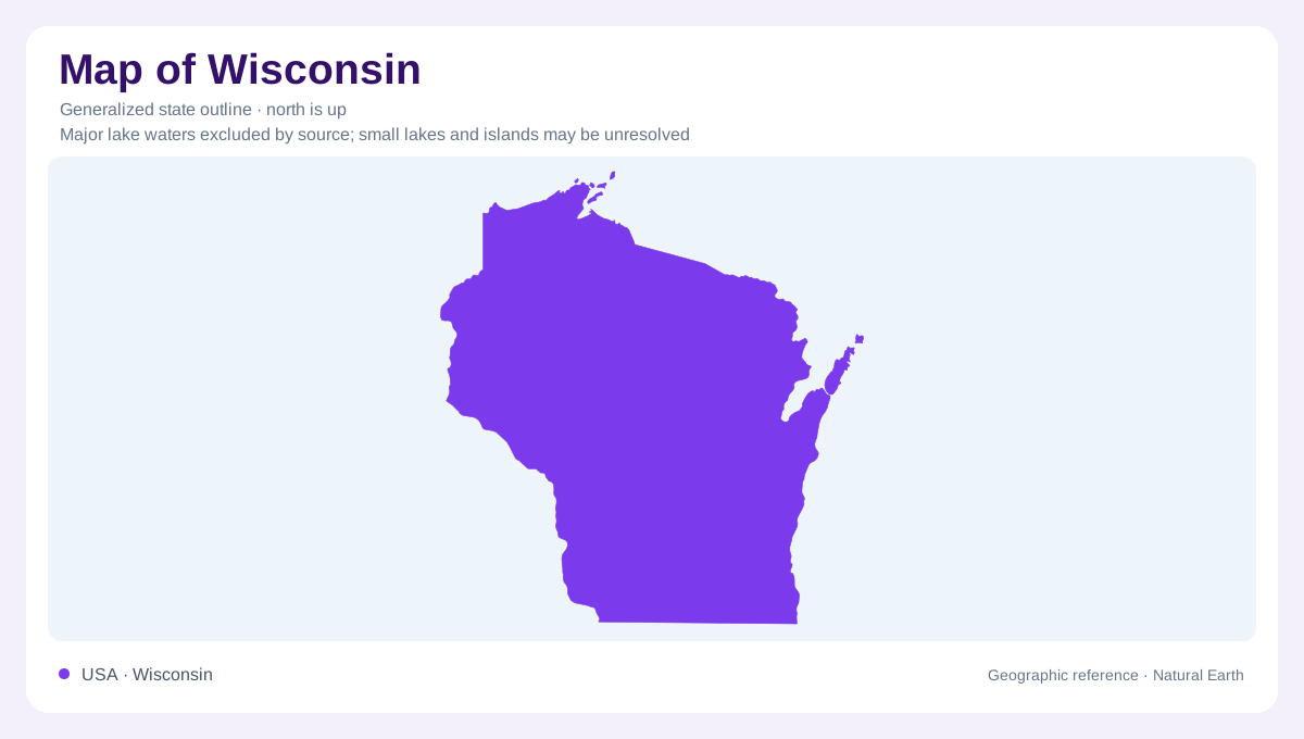
Wisconsin lies between major freshwater margins: Lake Superior borders the north and Lake Michigan the east, while the Mississippi helps define the west. These edges do not explain the abundance of smaller lakes, wetlands, and irregular hills within the state. Much of that interior pattern reflects continental glaciation and the movement of meltwater. Other districts preserve older erosion dominated landscapes, producing a marked contrast with recently glaciated ground. The state outline places these environments beside one another. A physical understanding also needs the former positions of ice, the underlying bedrock, and the channels through which water left the changing landscape.
Ice advanced in separate lobes
The Laurentide Ice Sheet spread into Wisconsin through several lobes guided partly by the terrain beneath it. The Lake Michigan Lobe followed the lake lowland, while the Green Bay Lobe advanced southward through its own lowland corridor. Northern Wisconsin received ice from additional lobes, including the Superior, Chippewa, and Wisconsin Valley lobes. These were parts of one large ice sheet, not independent local glaciers growing on Wisconsin mountains. The ice advanced beyond today's southern border. Their different paths help explain why the state's glacial landforms have several orientations. Ice margins shifted over time, leaving a more complicated record than one single line across the map could represent.
Ridges, lakes and the Baraboo example
At a glacier's margin, accumulated debris can form a ridge marking a former limit or pause. Meltwater redistributes sediment beyond and around the ice. The resulting landscape often contains irregular depressions, wetlands, and lakes, rather than a uniformly smoothed surface. The Green Bay Lobe reached the eastern end of the Baraboo Hills and both ends of Devils Lake gorge, illustrating how older bedrock relief interacted with advancing ice. This encounter matters: glaciation modified an existing landscape instead of creating every hill from nothing. Wisconsin's surface combines inherited rock structures with deposited material and channels altered during the retreat of the ice.
The contrasting Driftless country
Southwestern Wisconsin's Driftless Area provides a counterpoint to the lake dotted glacial landscapes farther north and east. Long continued stream erosion produced valleys and intervening uplands in country that escaped direct continental glaciation. The absence of an overriding ice sheet does not mean isolation from Ice Age processes. Meltwater from surrounding glaciated regions helped reshape the Mississippi corridor, and cold conditions affected land beyond the ice margin. A steep river bluff and a moraine can therefore both be Ice Age landscape features while having very different origins. Their form alone needs to be read alongside location and geological context.
Sandstone islands in Lake Superior
Around the Bayfield Peninsula, the Apostle Islands expose sandstone landscapes subsequently sculpted by glaciers and lake processes. More easily eroded sandstone layers help explain the development of sea caves. Glacial deposits cover much of the islands, while terraces and raised beaches record earlier lake levels. Eroding bluffs supply sand that is rearranged into beaches, spits, and other shoreline forms. The archipelago is thus part of Wisconsin's physical geography beyond the mainland edge. Its islands combine ancient rock, younger glacial material, and continuing wave action, showing three different timescales within one northern shoreline setting.