A country between seas
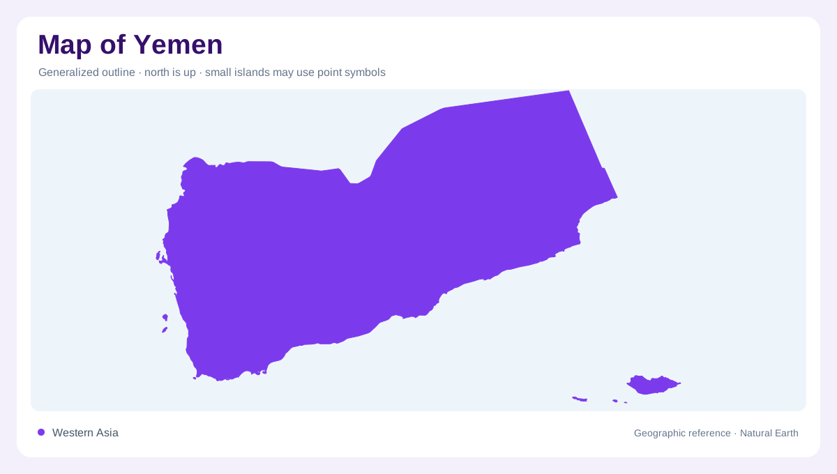
Yemen sits at the southwestern corner of the Arabian Peninsula, where the Red Sea, Bab el Mandeb, Gulf of Aden and Arabian Sea frame the map. The coastline is not one uniform edge. Al Hudaydah faces the Red Sea lowland, Aden sits by the Gulf of Aden, and Al Mukalla anchors the Hadramawt coast farther east. Offshore, Socotra, Abd al Kuri, the Brothers and Hanish Islands remind readers that Yemen includes separated island geography as well as mainland deserts and mountains.
Highlands behind coastal plains
The western half of the mainland rises sharply from coastal lowlands into rugged highlands. Sana'a, Dhamar, Ibb and Ta'izz are useful upland anchors, while Al Hudaydah marks the lower Red Sea side. This elevation contrast helps explain why nearby map labels may represent very different environments. A short horizontal distance from the coast can cross from hot plain into terraced mountain country, and that shift matters more than the straight-line distance printed by a scale bar.
Wadis and scarce renewable water
Yemen's drainage is dominated by wadis rather than large permanent rivers. FAO's map labels Wadi Hadramawt, Wadi Shihan, Wadi Makhyah, Wadi Armah, Wadi al Jiz, Tuban and Zabid. Its water-resource sheet records very low average precipitation and no external renewable water inflow, a sharp contrast with wetter countries. On a map, intermittent river symbols are therefore important. They show drainage corridors, settlement logic and flood routes without implying a continuously flowing river network.
Eastern plateaus and island scale
Eastward, Hadramaut and Al Maharah occupy broad arid terrain between inland plateaus, wadis and the Arabian Sea. Al Ghaydah and Al Mukalla help locate that long eastern stretch. Socotra is a separate map problem: it lies offshore in the Arabian Sea, closer to the Horn of Africa region than to the western highlands on many regional views. A mainland-only inset would miss an important part of Yemen's geographic identity and maritime spread.
Reading Yemen responsibly
A useful Yemen map emphasizes terrain and water rather than travel promises. The country contains coastal plains, steep highlands, interior basins, eastern wadis and islands separated by open sea. It also borders Saudi Arabia and Oman, with nearby African coasts across the Red Sea and Gulf of Aden. The Tihamah plain forms a narrow western fringe, contrasting with the eastern interior; between them, highland catchments divide runoff toward coastal wadis from drainage directed into inland basins and desert margins. The mainland outline also has several distinct corners. The northwestern highlands face the Red Sea, the southwestern corner borders the approach to Bab el Mandeb, the southern coast runs along the Gulf of Aden, and the eastern coast opens to the Arabian Sea. Inland governorate names such as Marib, Al Jawf, Shabwah and Hadramaut help separate desert basins from mountain country. On a national map, the pattern of wadis is more informative than blue color alone, because many channels carry water irregularly yet still organize valleys, farms and towns. This helps explain why highland cities, coastal ports and island labels need clearly separate visual treatment. They belong to one territorial map, but they do not share one environmental setting.