An inland plateau country
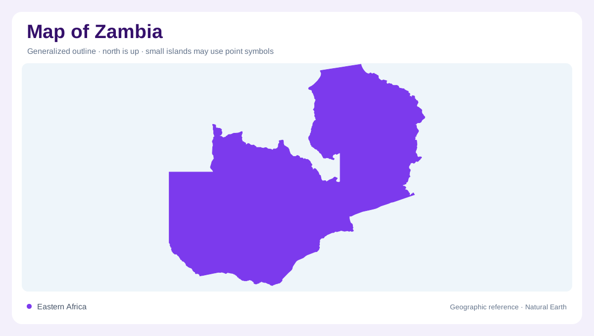
Zambia is landlocked, but its map is full of water boundaries and basin clues. The country lies on high southern African plateau country bordered by Angola, the Democratic Republic of the Congo, Tanzania, Malawi, Mozambique, Zimbabwe, Botswana and Namibia. Lusaka sits south of center, while Copperbelt cities such as Kitwe, Ndola, Chingola and Mufulira cluster near the Congo border. That northern urban belt should not be mistaken for the whole country; much of Zambia is broad plateau drained by major rivers.
Zambezi and southern edge
The Zambezi is the dominant southern and western map feature. It forms important boundary segments, receives water from upstream and continues toward Mozambique. Livingstone marks the Victoria Falls area on the border with Zimbabwe, while Lake Kariba stretches along the southeastern edge. FAO's water sheet records Zambezi-related flows to Zimbabwe, Namibia, Mozambique and Angola, showing why Zambia's map belongs to a regional basin. The river is both a boundary line and a connector across borders.
Kafue, Luangwa and central drainage
Inside the country, the Kafue and Luangwa systems help organize the central and eastern map. The Kafue bends through central Zambia toward the Zambezi, with Kafue Gorge appearing as a major mapped feature. The Luangwa valley lies farther east, shaping the route toward Mozambique. These basins separate provinces and landscapes more clearly than a simple administrative color fill. They also explain why roads and settlements often follow valley margins, escarpments and crossing points rather than straight map lines.
Northern lakes and high-rainfall basins
Northern Zambia adds a lake-and-river geography different from the drier south. Lake Tanganyika touches the northeast, Lake Mweru lies on the Congo-side drainage, and the Bangweulu wetlands and Chambeshi system occupy the north-central map. FAO water accounting lists both internal renewable water and external inflow, with the Luvua and Zambezi noted in transboundary directions. A national map should therefore show Zambia as a watershed country, not merely as a rectangular inland state.
Using the map at several scales
At small scale, Zambia's outline forms an irregular, deeply indented shape. At useful scale, it becomes a set of plateaus, river valleys, lakes, falls and border basins. Lusaka gives the administrative center; the Copperbelt locates mining urbanization; Livingstone and Lake Kariba locate the Zambezi edge; and the northern lakes open toward the Congo and Tanzania. The best reading follows water first, then cities, because rivers and basins explain more of Zambia's geography than distance from the sea. This basin-first reading also clarifies Zambia's unusual border geometry. The country narrows toward the Caprivi-adjacent Zambezi area, stretches north to Lake Tanganyika, and wraps around several neighboring frontiers without reaching an ocean. Eastern Province looks different from Western Province because the Luangwa system, the Zambezi floodplain and northern lake districts pull the eye in separate directions. FAO's precipitation and renewable-water figures support the same point: water is abundant enough to organize national geography, but it is unevenly placed across basins, wetlands, reservoirs and border rivers. For readers, this means that a locator dot at Lusaka is only a starting point. The national geography spreads outward through watersheds that reach nearly every border on any careful detailed map.